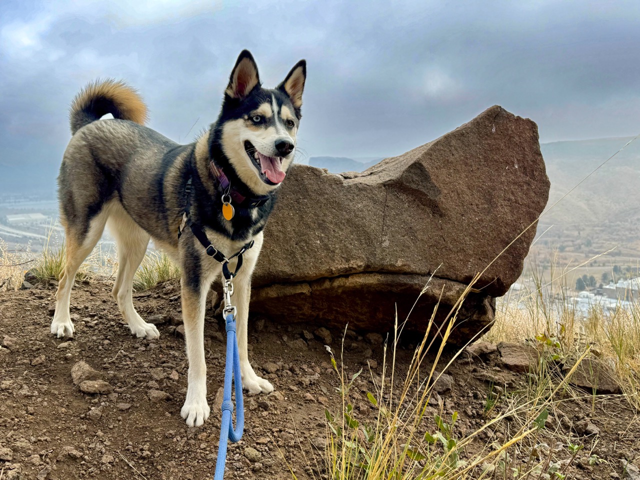
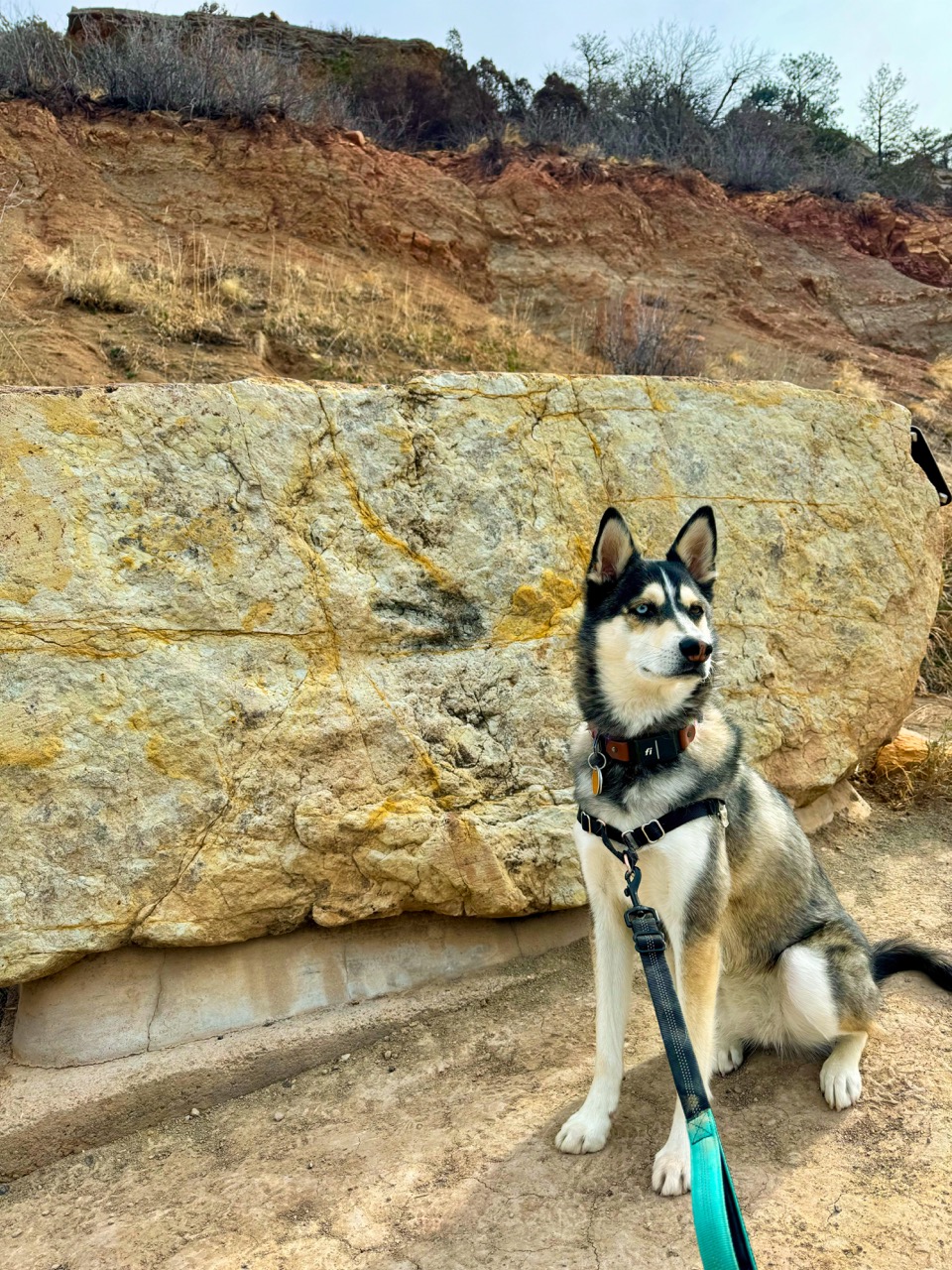
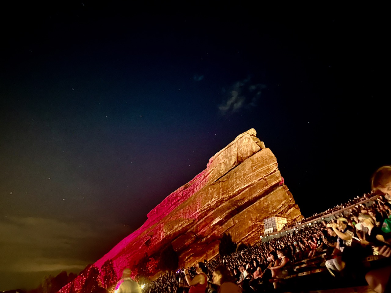
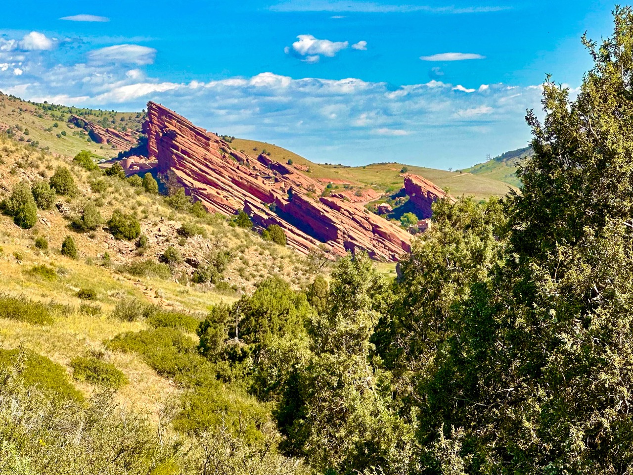
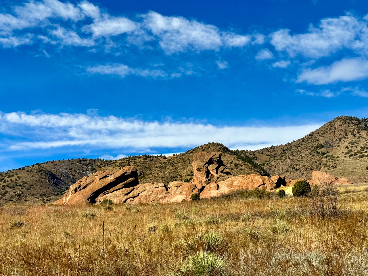
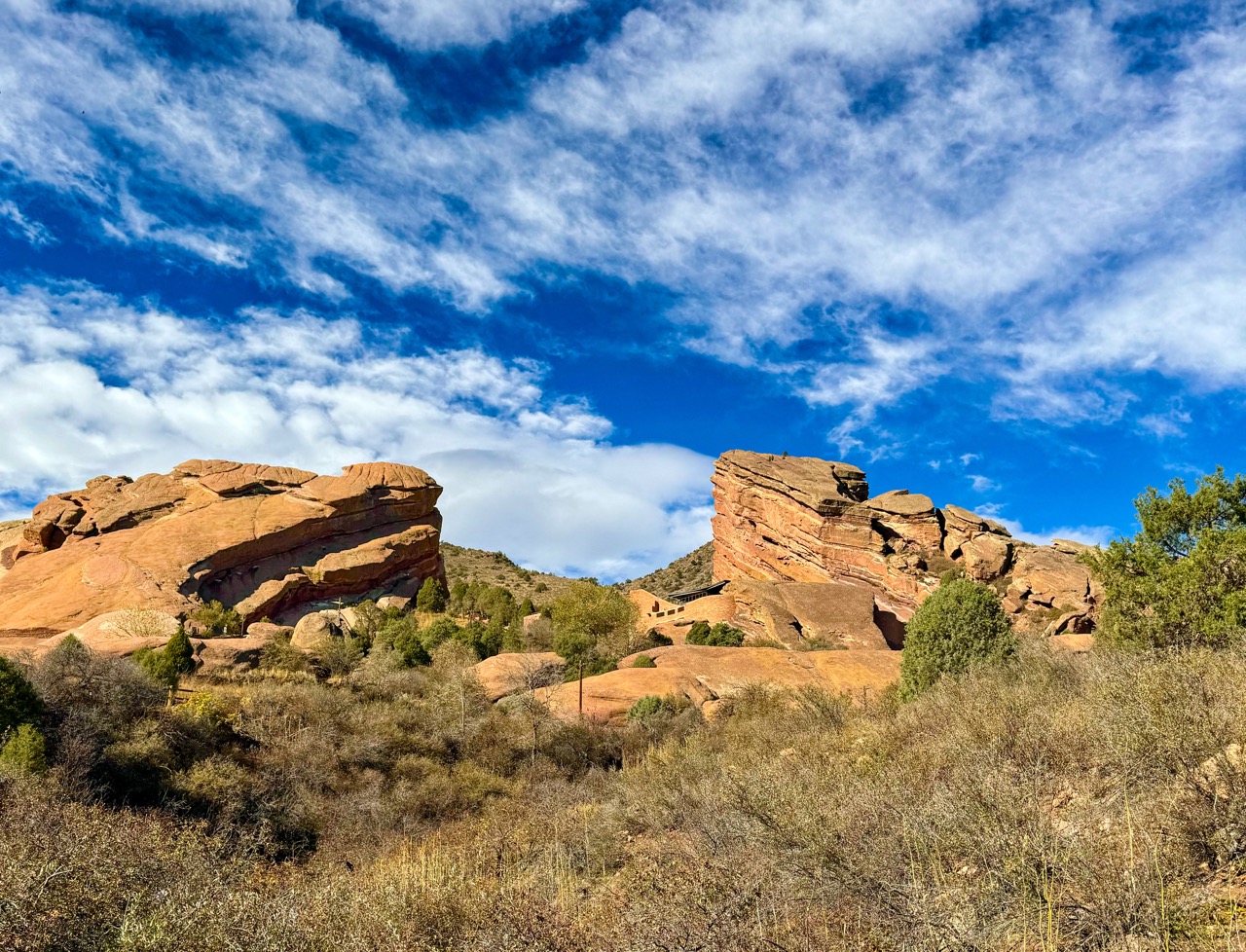
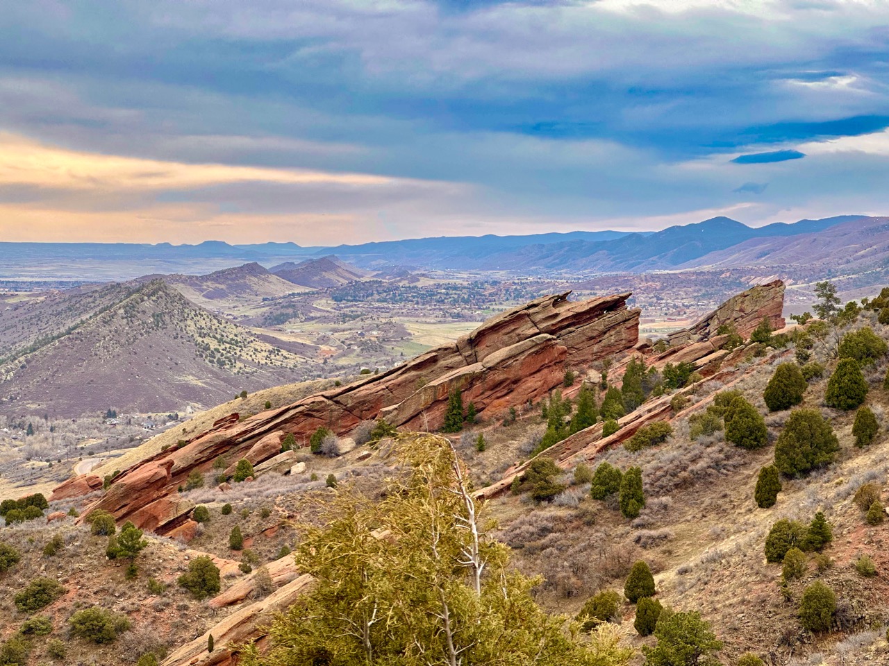
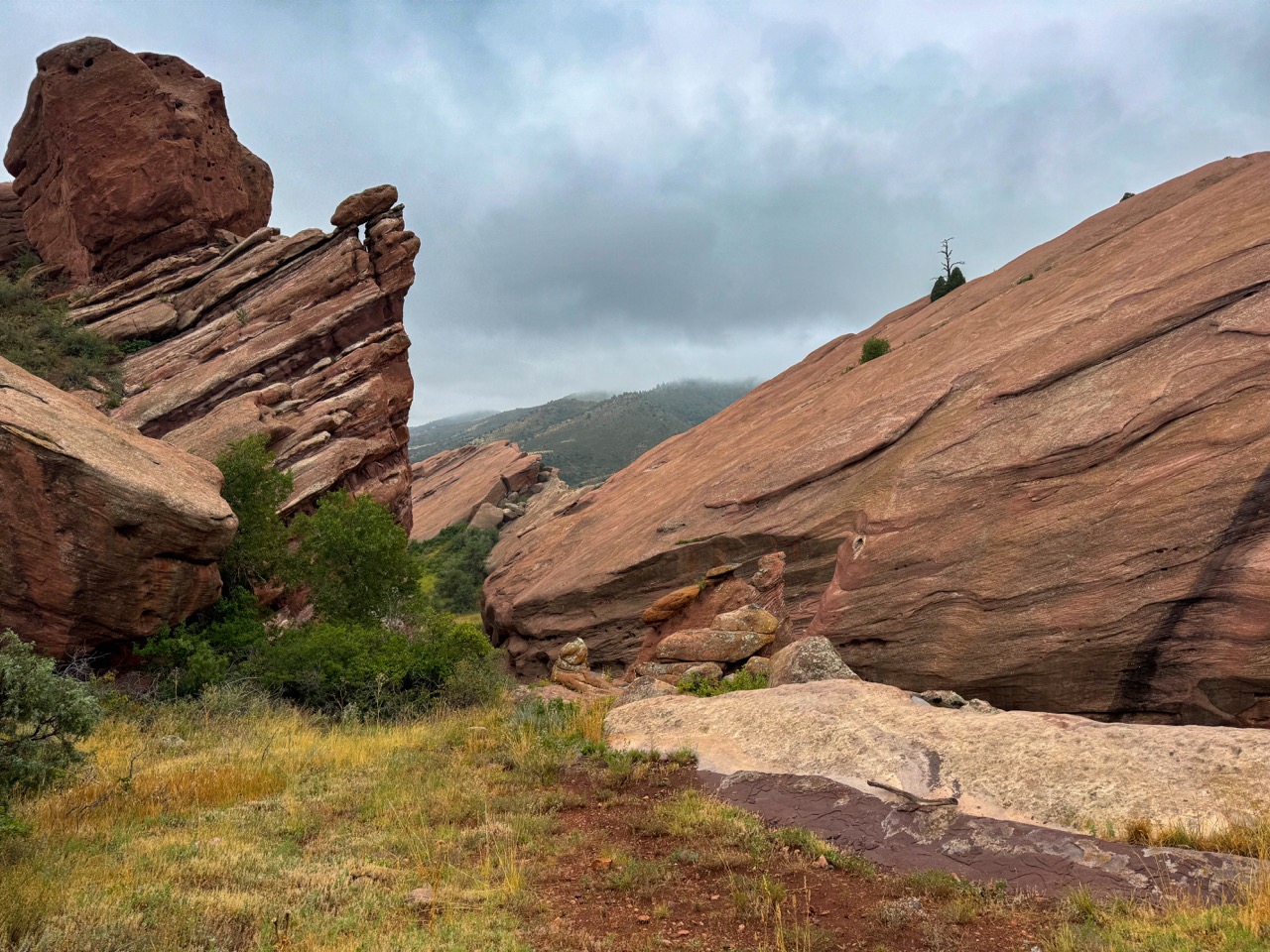
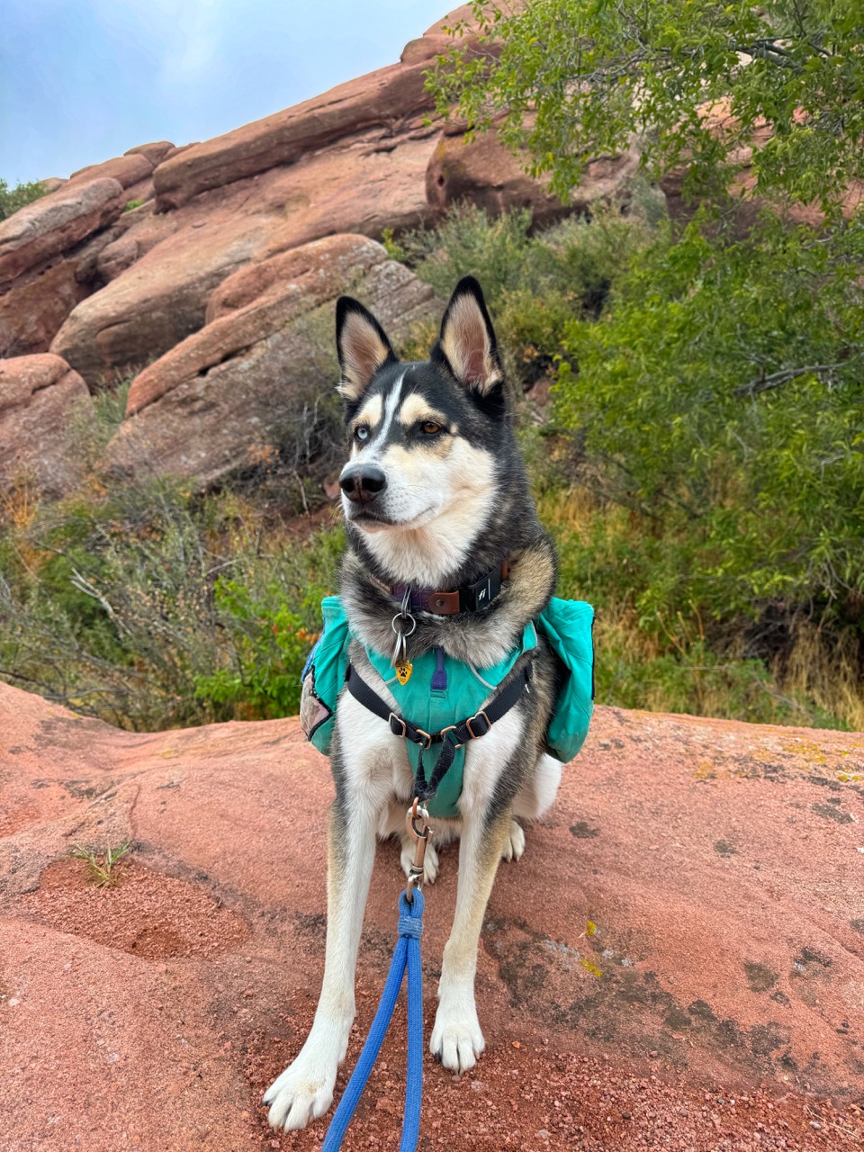
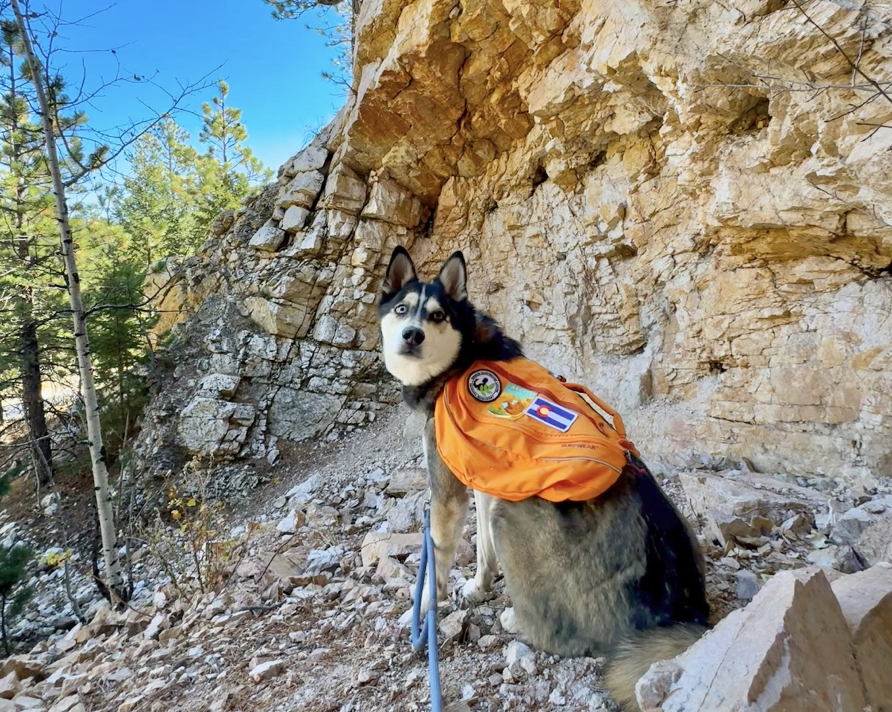
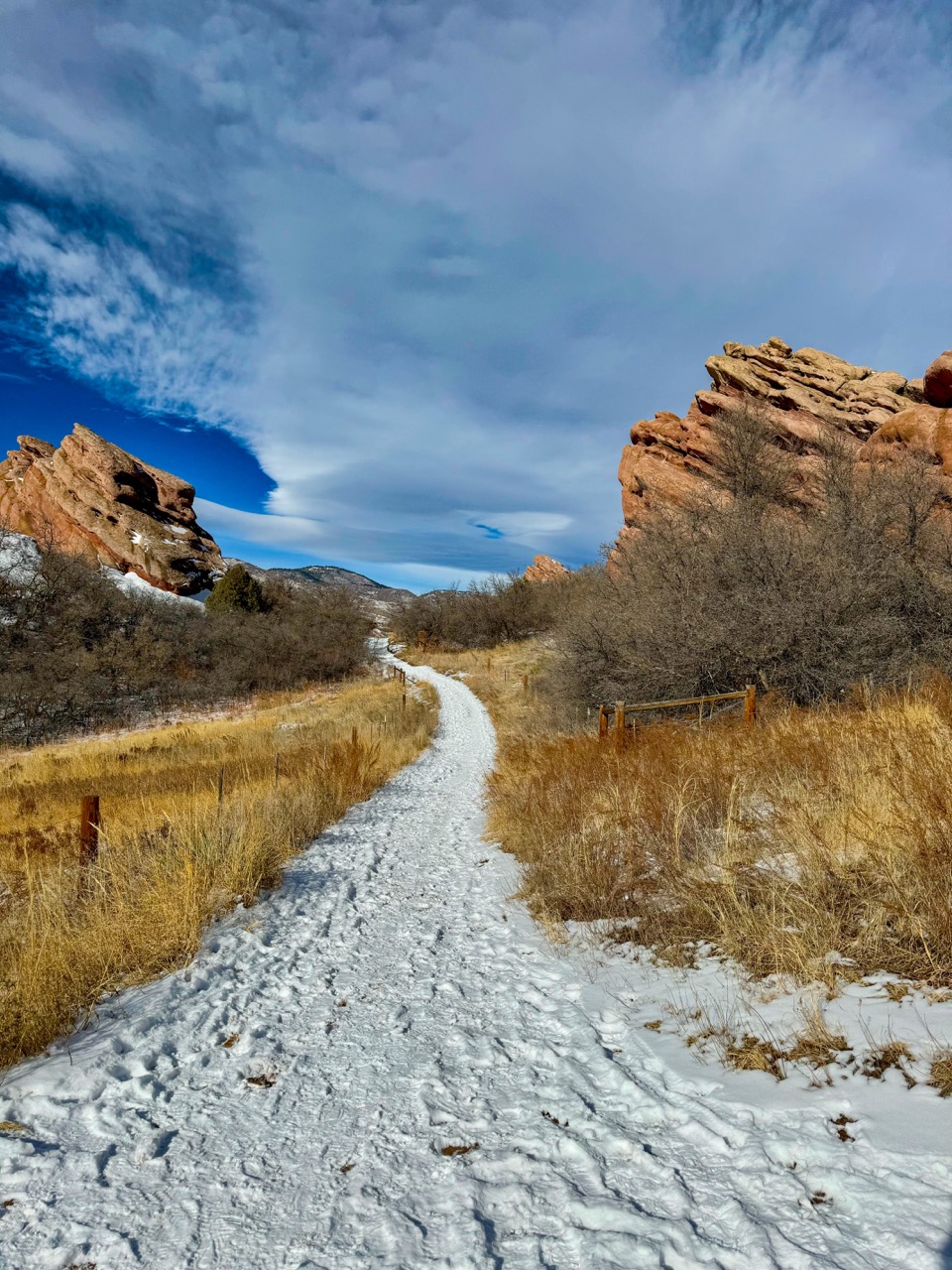
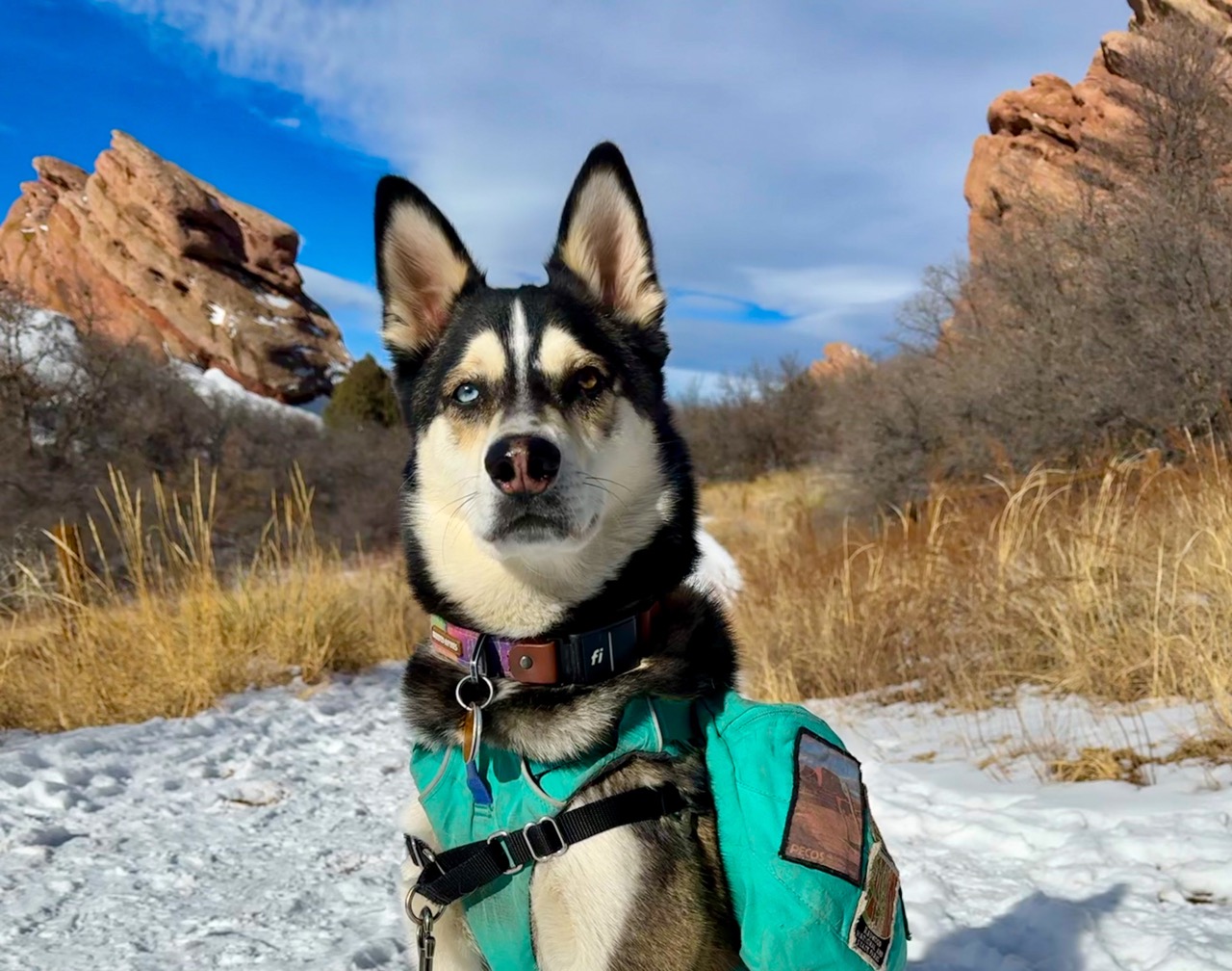
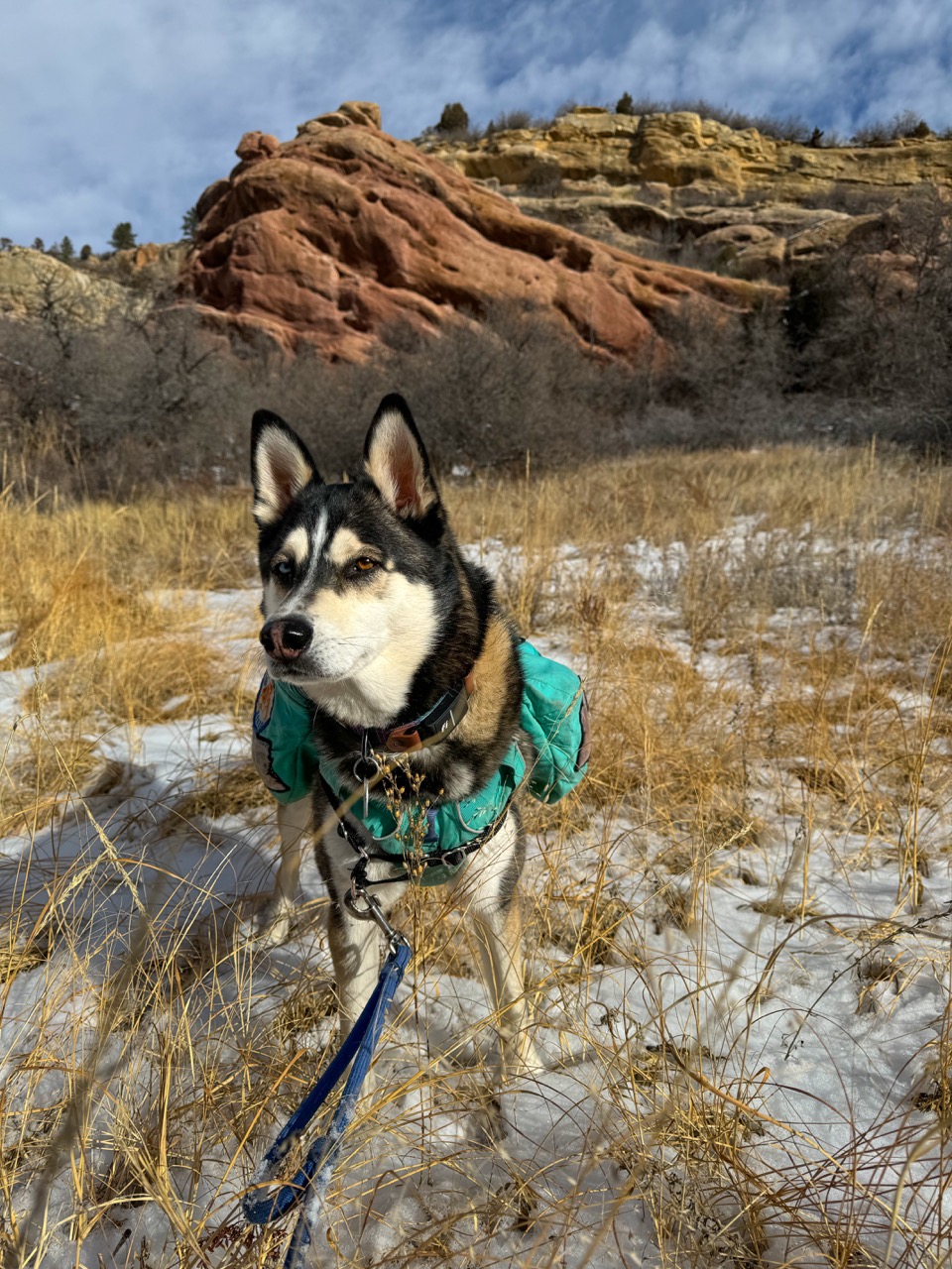
10 dog-friendly geology hikes along Colorado’s Front Range: Rocks rock!
Rock formations can be absolutely captivating! In this post you’ll find ten of our favorite dog-friendly hikes to incredible geologic features near Denver, Colorado. In addition to being stunningly beautiful, each area tells a captivating part of the story of our earth’s history. While they can be enjoyed year-round, we particularly love these hikes in the cold weather months.
This site contains affiliate links, which means when you click, we may receive a small commission from your purchase at no additional cost to you. This helps us run this page and offer great content free of charge, and we only recommend products that we use and love. We appreciate you!
Why Rocks Rock
I like to think of myself as an inspiring geology nerd. Rocks have always captivated me, but not in a way that made me seek out any type of formal geological education. They captivate me because of their mystery. I know they help tell the story of our planet, our world, our history, our lives. And yet, the ways in which they do so have long seemed much too baffling to dig into.
Rather, I love feeling transfixed by their beauty. I am a granola girl at heart, but I adore sparkly gems in my jewelry. I have a pouch full of rocks & crystals in my purse at all times, each with particular relevance to me. I have climbed rocks, collected rocks, made rocks into jewelry, and spread rocks to adorn a landscape. To me, rocks are pure loveliness. Rocks are tiny little mysteries that I can hold in my hands. They are mysteries I feel completely content with never solving.
Storytime: Rocks Rocking in Childhood
The first time I remember being captivated by rocks was when I was a child. Our ranch style house in the cornfield-dominated rural Illinois landscape, was built on a hill. The back door opened out onto a terraced deck. Under the tall part of the deck was a built-in little shed – The kind that adults build to take advantage of available space, and use for some practical storage purpose. The shed was just the right blend of accessible and hidden, and captured my little Lauren imagination.
One day, my friend Kate and I decided to turn the shed into our personal clubhouse. It was our place to hide, and make up stories and games, and tell each other our innermost thoughts. When we really began “moving in”, and investigating the space, we found a cache of white crystalline rocks. These rocks, that I now can identify as run-of-the-mill quartz landscaping rocks, were pure magic to us. Their jagged facets sparked in the sunlight when we rinsed them off. We held them in our hand, and imagined them to be some kind of treasure, filled with ancient spells. We simply had to do something with them.
Our idea was to begin to use larger rocks to crush them, making our own kind of glitter gravel, which we used to cover the floor of our clubhouse. So every time we entered, we would step onto a hidden beach of white sand that shimmered in the places where the sunlight poked through the gaps in the decking above. We invited my childhood dog Shammy into the space, and imagined she knew the secrets of the crystals. Our childhood stories and discourse took on a new quality in this fantastical stronghold. We felt in our bones that the crystals imparted some kind of magical powers, of which we had only to discover.
It went on like that for about a week. Each day after school, the first place we’d head is to our crystalline fort. Eventually, however, a biting thunderstorm rolled through overnight, dumping buckets of rain. And the next day we approached the fort, we found that water had poured through the gaps in the deck, and washed most of the crystalline gravel away. It washed right out of the gap between the door and the floor, and dispersed itself throughout the yard.
With the space returned to its original shed vibe, I don’t remember feeling particularly upset. It was simply a moment of realization that our week of magic in this particular place was only meant to last a short time. We moved on to find magic elsewhere, and we learned an important lesson about the effect of water on landscapes.
Dog-Inspired Rock Nerdery
Fast forward to adulthood, and I found myself living in Colorado – A place where rocks so often dominate the landscape. From mountains, to canyons, to bulging rock formations seeming to rise out of the most mundane landscapes, it’s pretty hard to live here and not notice geology. However, while I’ve always admired the rocks in the Rocky Mountain landscape, I’ve historically been more drawn to understanding plants and animals while hiking. I’m the girl who can tell you which flowers are poisonous, and which are edible; Which leaves should never be touched, and which can be brewed into teas or tinctures to provide medicinal benefits. I’ve always been much more likely to investigate an owl pellet on the side of the trail than a rock.
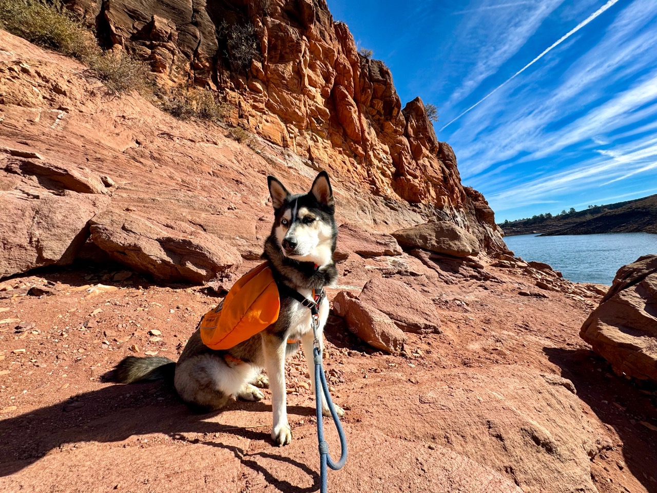
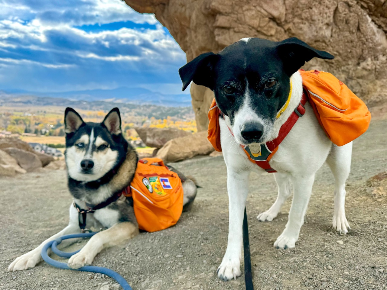
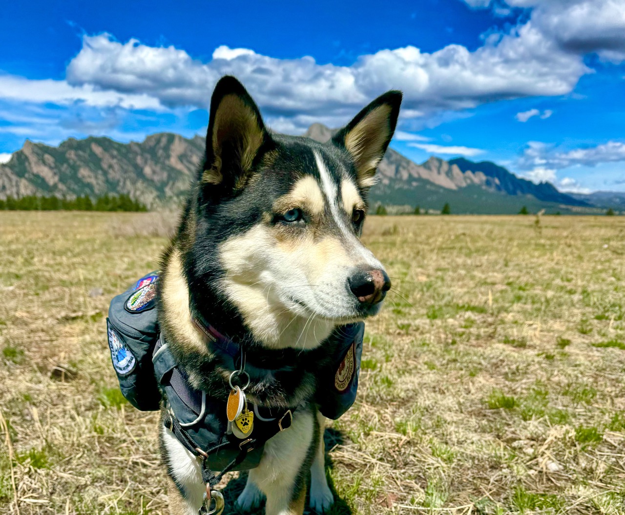
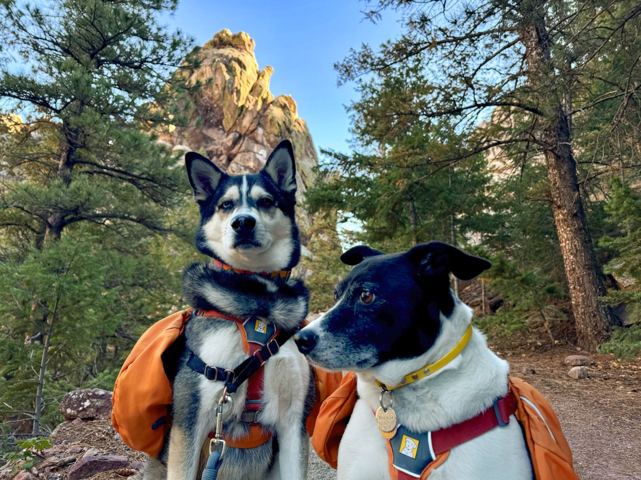
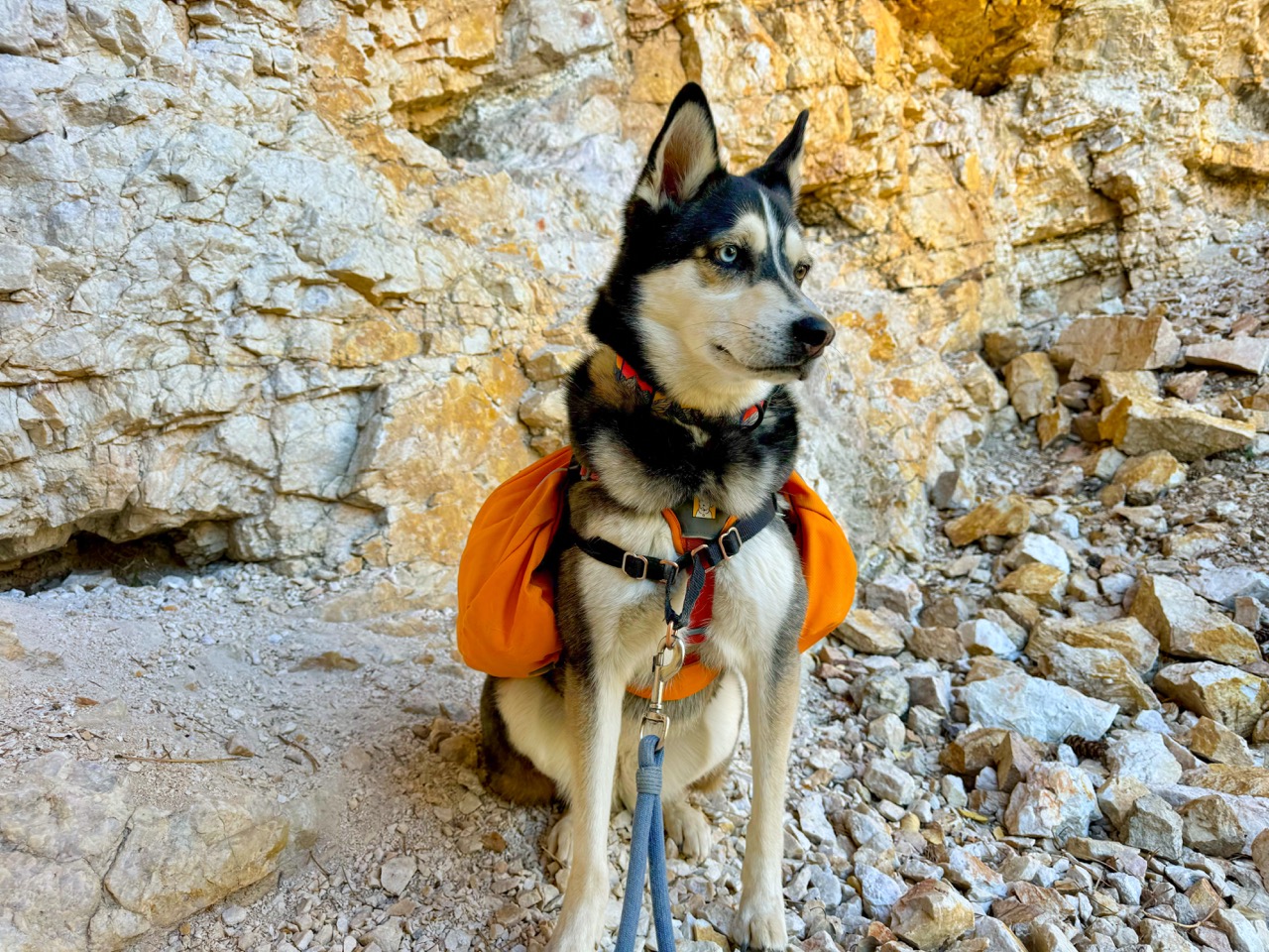
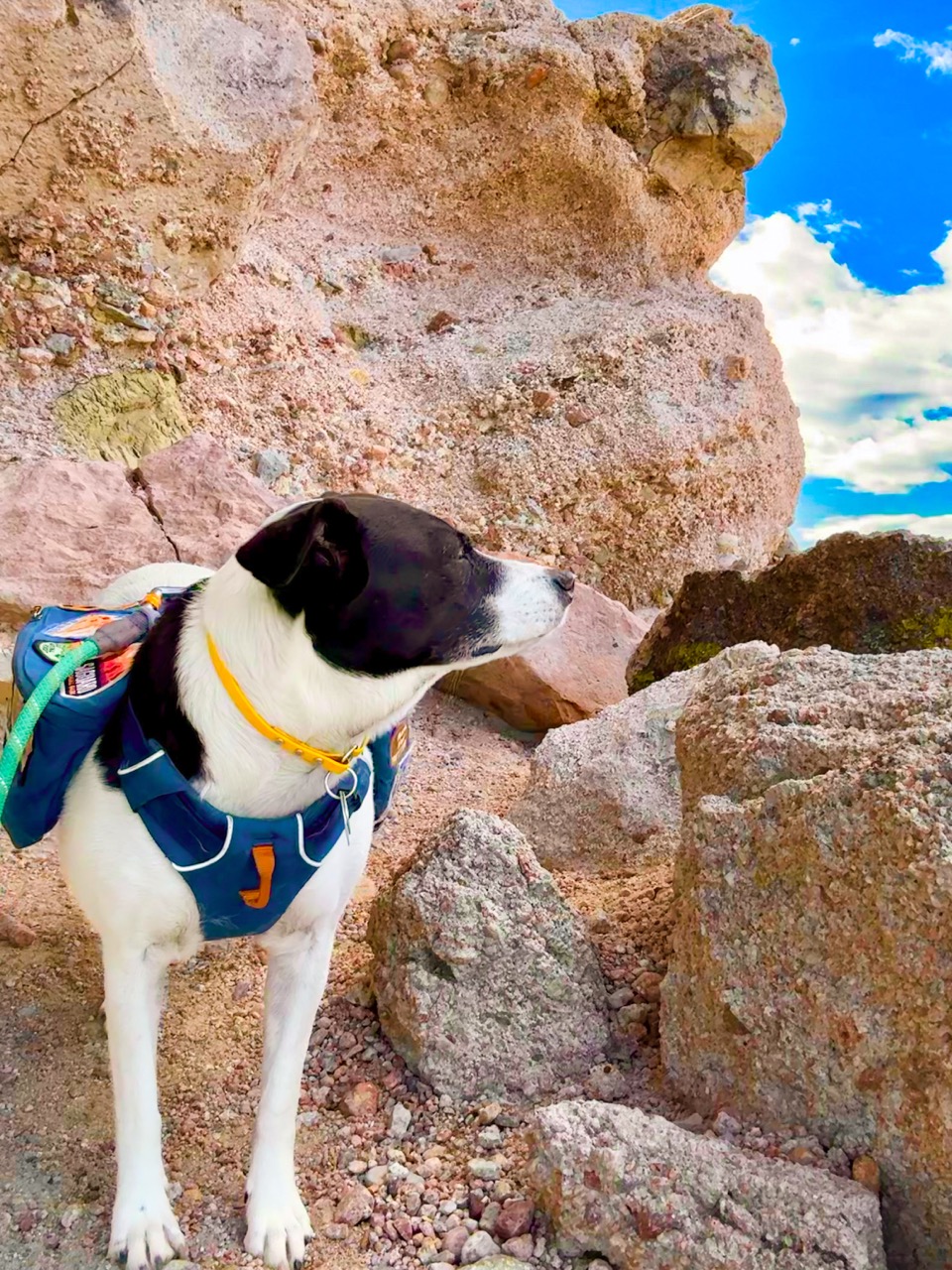
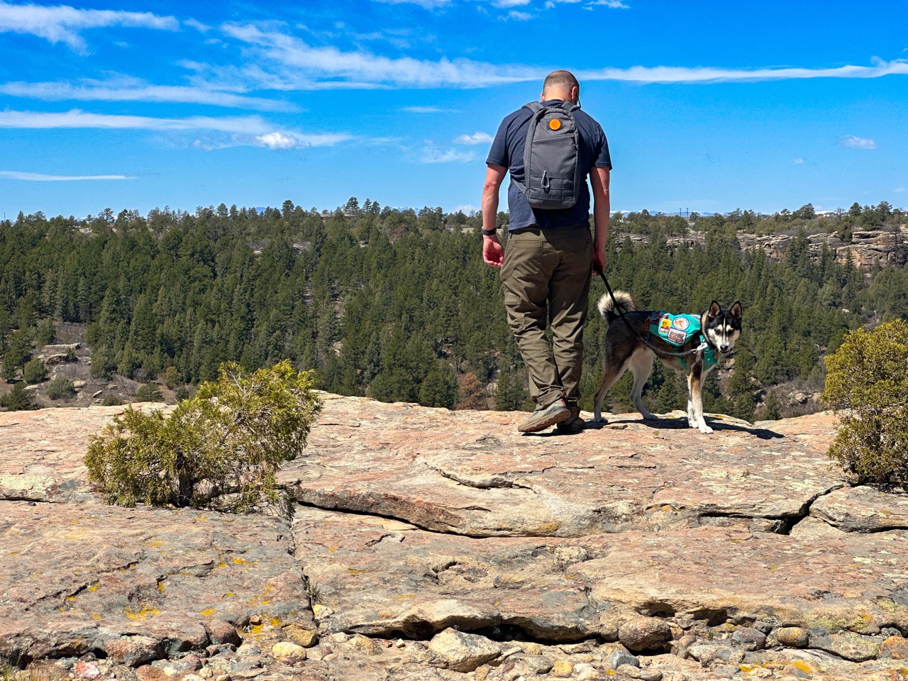
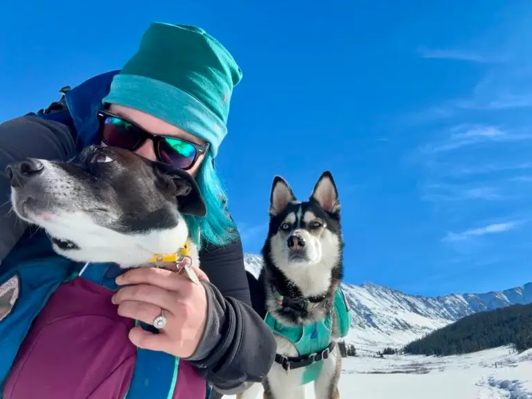
A couple years ago, however, we adopted Bonnie & Ada within a year of each other. And as Ada quickly grew into a highly energetic little husky, we all started hiking more often. It was the perfect way to do something we all love, while also getting the dogs plenty of exercise and mental stimulation. And I quickly discovered that my previous habits of hiking only in warm months, full of wildflowers and lush greenery, was not going to cut it. As I pushed myself to hike year-round, I also found that the cold weather months left me missing all of my colorful plant friends. I needed something new to investigate as I hiked – Why not rocks?
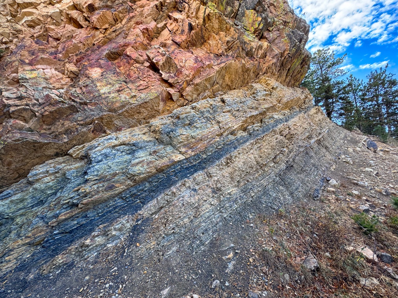
Rocks stand strong as the seasons change, and if anything, they only become more prominent and more lovely as the plant-based landscape shrivels around them. A newly committed cold weather hiker, I finally wanted to do more than admire pretty rocks. I finally needed to try to understand them – a perfect new challenge for the late fall and winter months.
Why Rocky Hikes Rock
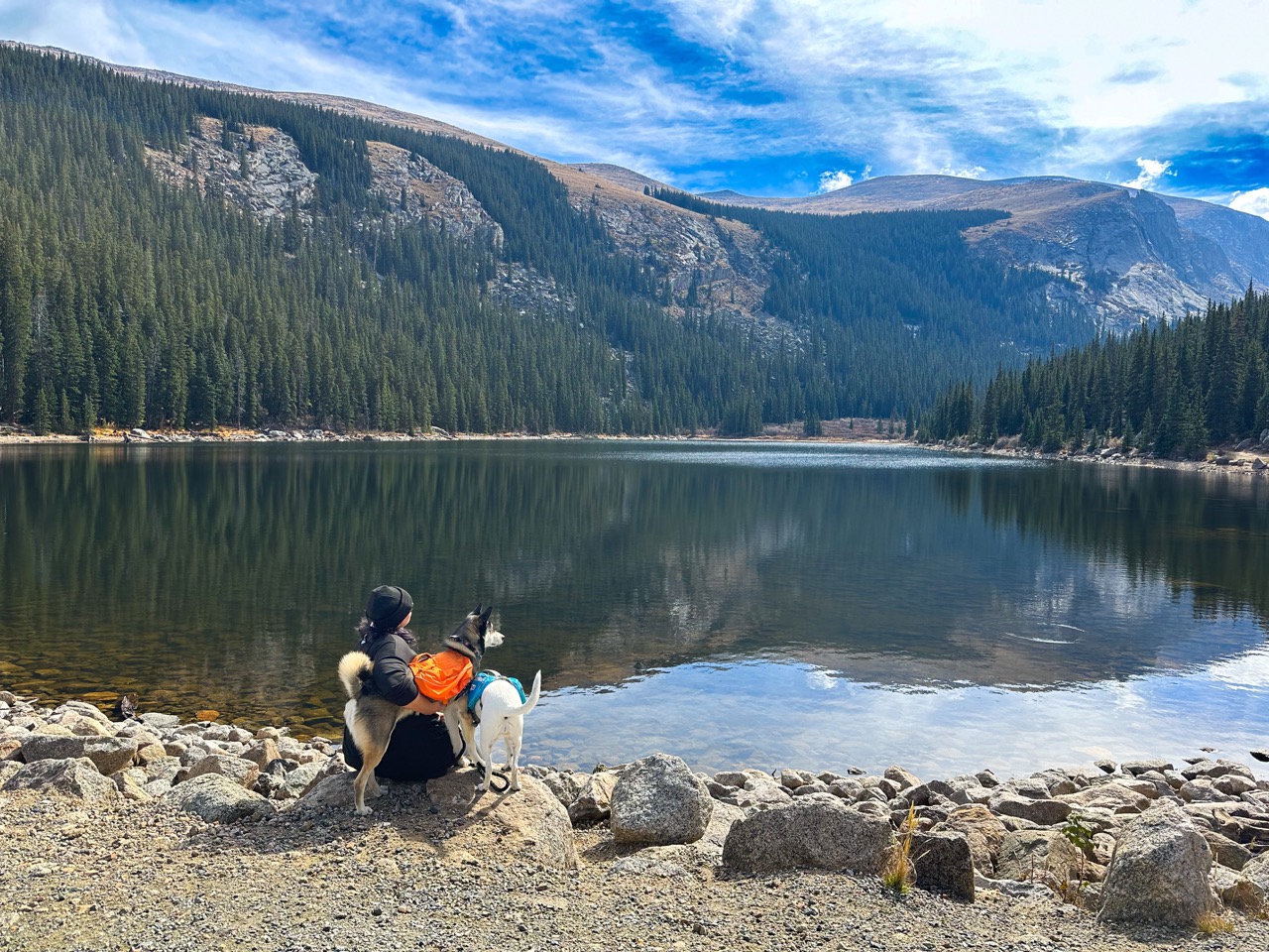
I’ve identified an array of different dog-friendly hikes around the Denver Metro Area that feature some of the most captivating and diverse rocky landscapes in the area, which includes Loveland, Boulder, Golden, Lakewood, Castle Rock, and areas in between. I’m only baby steps into this journey, so I don’t promise the same quality of scientific information that a geologist could provide, but I’ve done my best!
If you’re new to hiking with your dog, start here: Hiking with your dog: 12 tips to always be pup-pared
If you’re heading to these hikes in the winter, start here: Beginner’s guide to winter hiking with your dog: Snow pups unite!
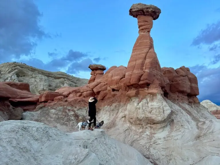
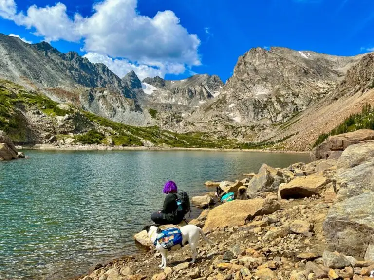
Together, these hikes help to construct a story of the most ancient events in our little corner of this planet – How rock, ice, lava, wind, water, extreme temperatures, animals, and tectonic activity, have all collided over millions of years to produce the landscape we know and love today. And the bonus with seeking out rock-forward landscapes is that my dogs have an absolute blast hopping and scrambling around over boulders, talus, gravel, and other intriguing formations. And I suspect your dogs will love this too.
Why Rocky Hikes Rock Particularly Hard in Cold Months
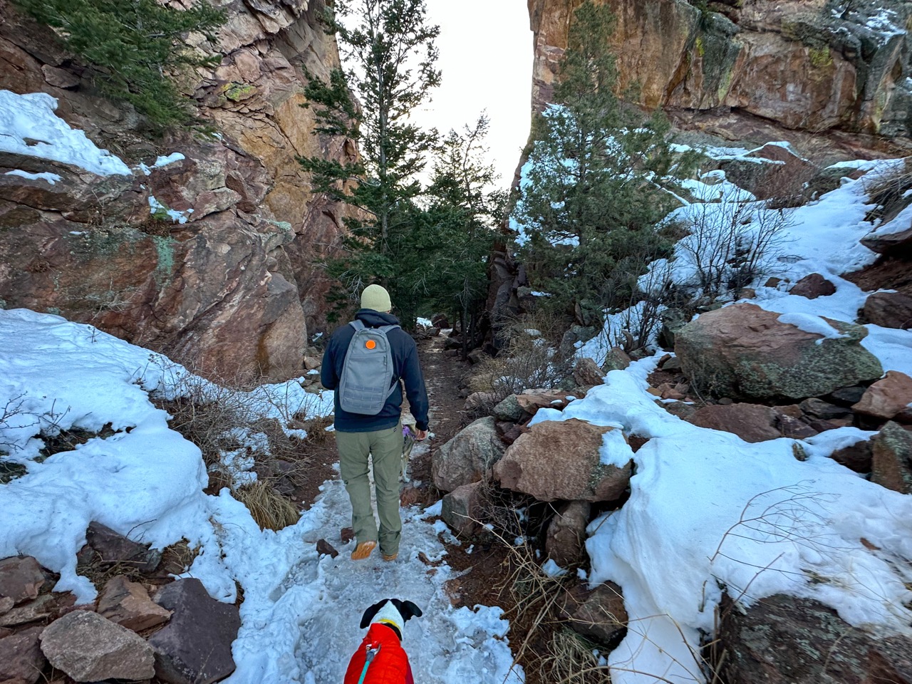
These dog-friendly trails can be hiked any time of year, but they are our particular favorites for November and December. During these months, we can welcome the earth’s invitation to really SEE the rocks, not outshined by summer’s wildflowers, early autumn’s warm fall colors, or late winter’s sparkling snowy landscapes. Hiking to interact with rocks can help us all look forward to the special experience of communing with geology as we adventure with our precious four-legged adventure buddies.
We hope you and your dog enjoy these as much as we do!
Land Acknowledgement
The Denver Metro Area and Colorado’s Front Range is located on the ancestral homelands of the Tséstho’e (Cheyenne), Hinono’eino’ Biito’owu’ (Arapaho), & Núu-agha-tʉvʉ-pʉ̱ (Ute) peoples
To show respect to the native peoples who cared for these lands long before white settlers, we do several things:
- Research and speak the names of the traditional guardians of the land. We use Nativeland.net
- Ask permission from the land itself before we enter. It might seem silly at first, but the more this becomes a habit, the more you become attuned to the ways in which the land speaks.
- Make donations to native-led organizations that support the communities whose ancestral lands were stolen.
A Few Helpful Geology Terms
This list contains the most common types of rocks that show up on the following hikes
- Igneous – Describes a rock or mineral that solidified from molten or partly molten material; also, describes processes leading to, related to, or resulting from the formation of such rocks. One of the three main classes or rocksigneous, metamorphic, and sedimentary.
- Sedimentary – A rock resulting from the consolidation of loose sediment that has accumulated in layers; it may be clastic, consisting of mechanically formed fragments of older rock; chemical, formed by precipitation from solution; or organic, consisting of the remains of plants and animals. One of the three main classes or rocksigneous, metamorphic, and sedimentary.
- Metamorphic – Any rock derived from preexisting rocks that was altered in response to marked changes in temperature, pressure, shearing stress, and chemical environment. One of the three main classes of rockigneous, metamorphic, and sedimentary.
- Conglomerate – A coarse-grained, generally unsorted, sedimentary rock consisting of cemented, rounded clasts larger than 2 mm (0.08 in) in diameter.
- Breccia – A coarse-grained, generally unsorted sedimentary rock consisting of cemented angular clasts more than 2 mm (0.08 in) across.
- Sandstone – Clastic sedimentary rock composed of predominantly sand-sized grains.
- Granite – A coarse-grained, intrusive igneous rock in which quartz constitutes 10%50% of the felsic (light-colored) components and the alkali feldspar/total feldspar ratio is generally restricted to the range of 65% to 90%; perhaps the best known of all igneous rocks.
- Basalt – A volcanic rock that is characteristically dark in color (gray to black), contains approximately 53% silica or less, and is rich in iron and magnesium.
- Quartzite – Metamorphosed quartz sandstone. A medium-grained, nonfoliated metamorphic rock composed mostly of quartz.
- Quartz – Silicon dioxide, SiO2. The only silicate (silicon + oxygen) mineral consisting entirely of silicon and oxygen. Synonymous with crystalline silica.
Reference: Glossary of Geologic Terms
The Hikes – All within 1 hour’s drive from Denver
1. Keyhole via Wild Loop Trail – Devil’s Backbone Open Space, Loveland
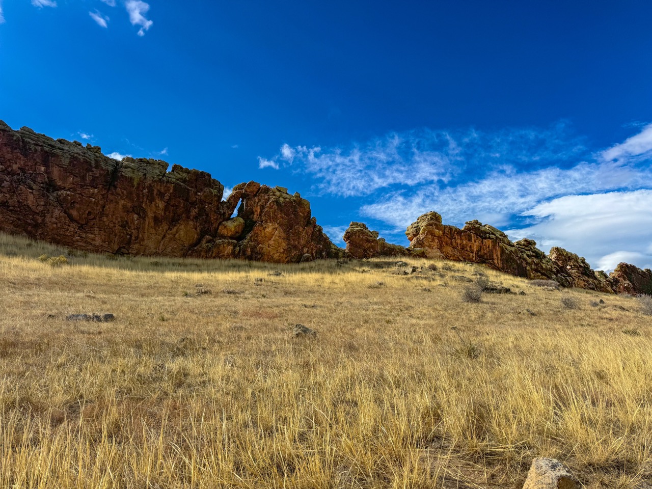
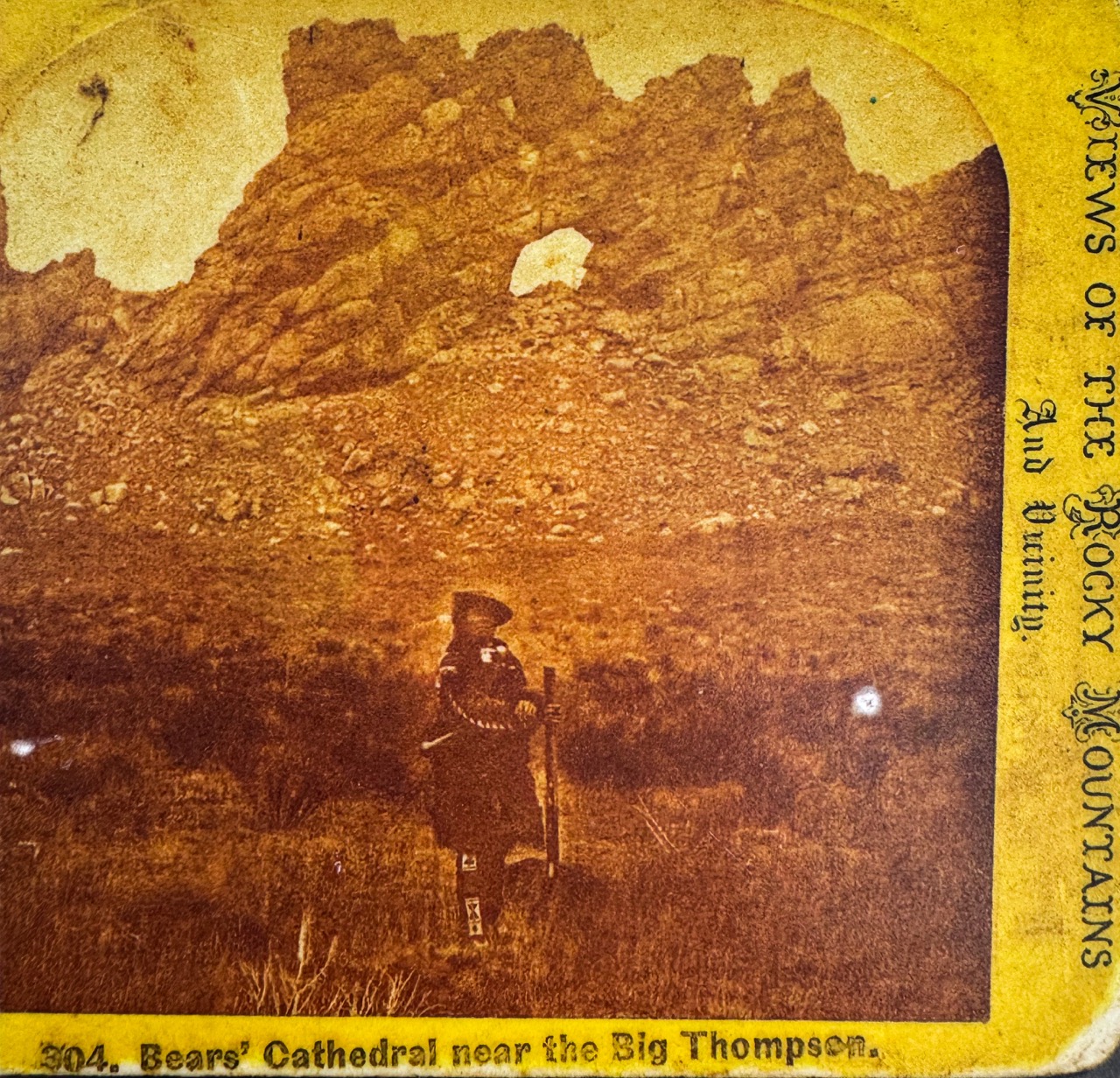
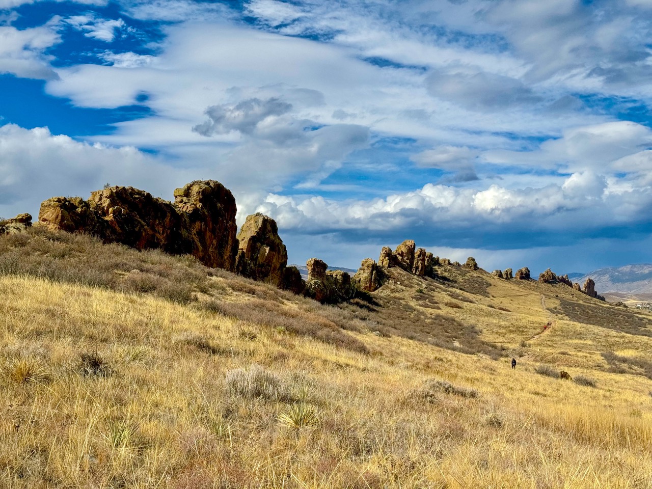
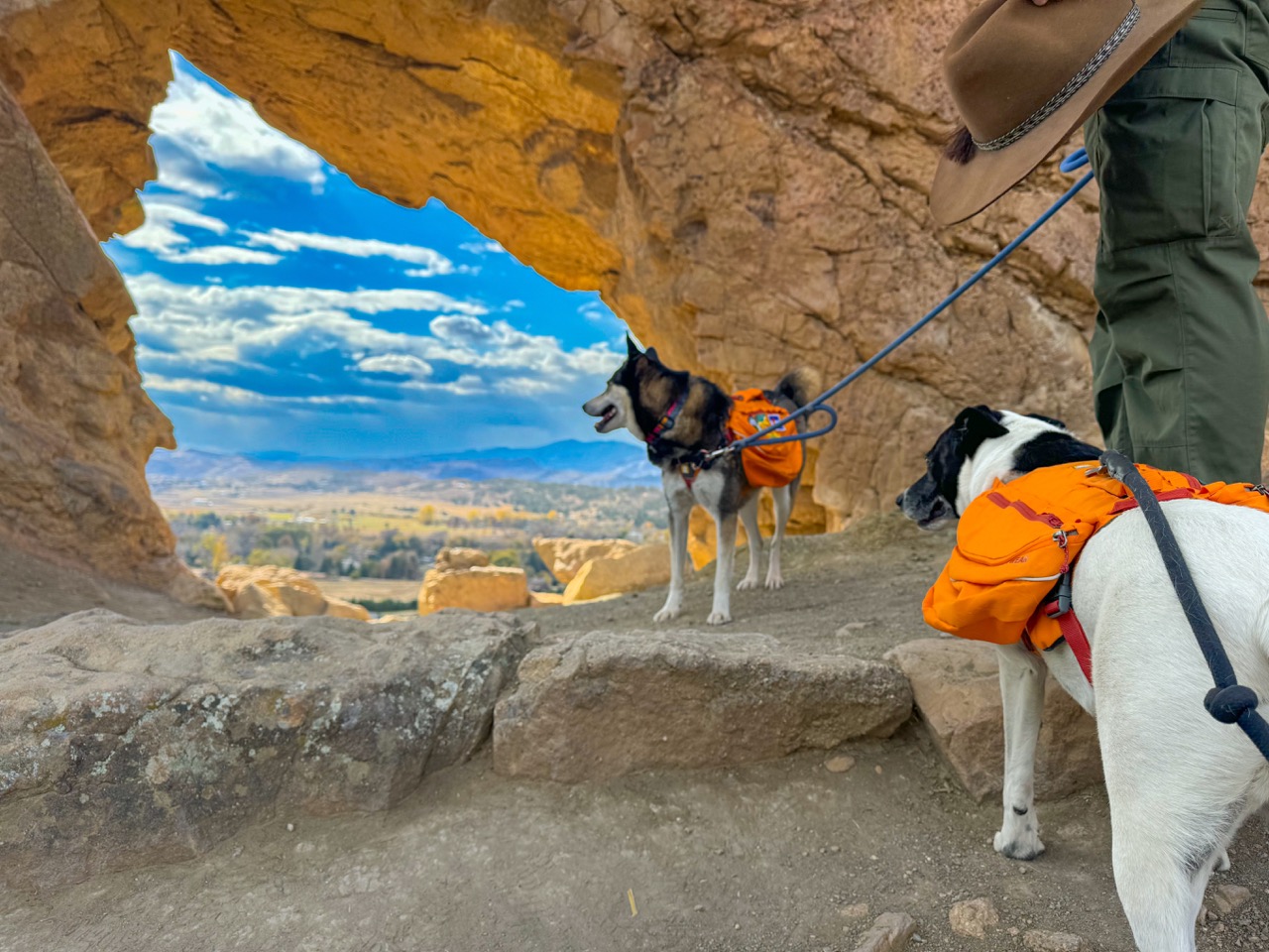
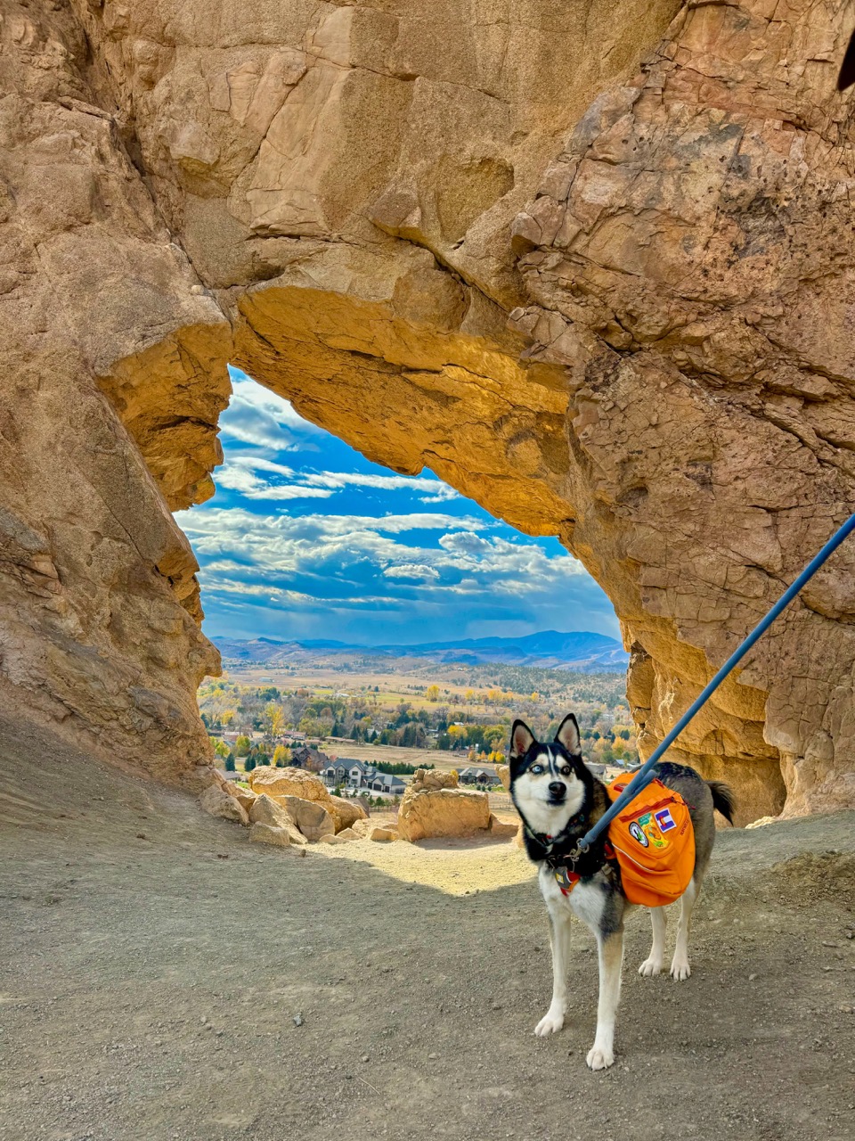
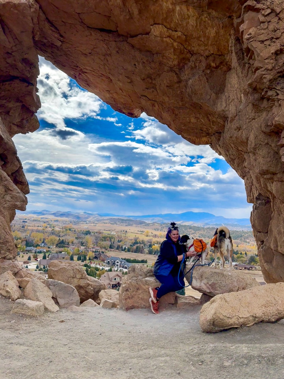
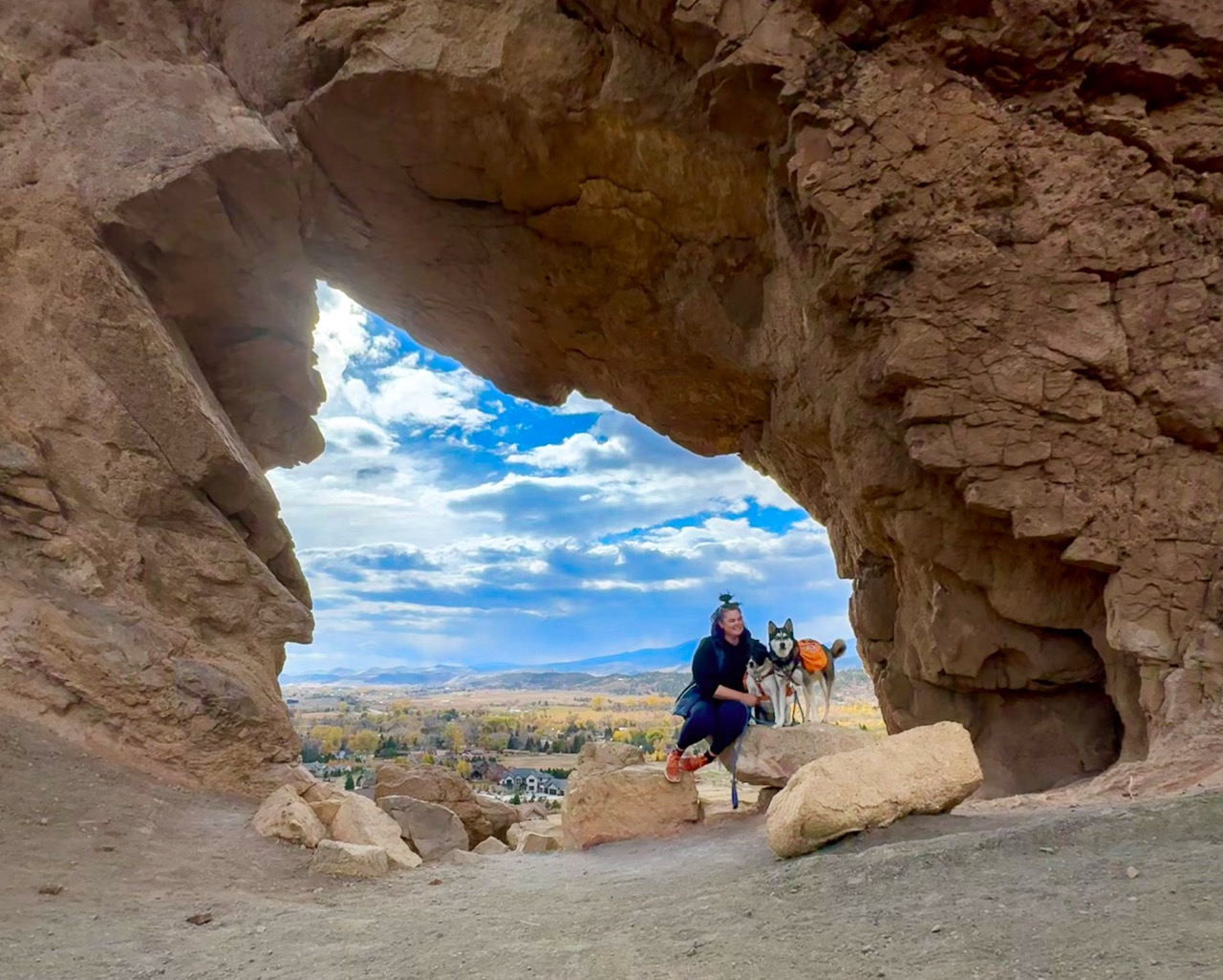
This loop trail takes you past an incredible hogback formation, and right up to this stunning arch, from which you can see Long’s Peak, and several other tall mountains in Rocky Mountain National Park.
The Trail Info
- Trailhead: Devil’s Backbone Trailhead
- Length: 2.4 mi round trip
- Elevation Gain: 252 ft
- Cost: $10 Daily use fee, payable at kiosk
- Dogs must be on leash
- Trail Info on AllTrails
The Nerdy Rock Stuff About Devil’s Backbone & The Keyhole
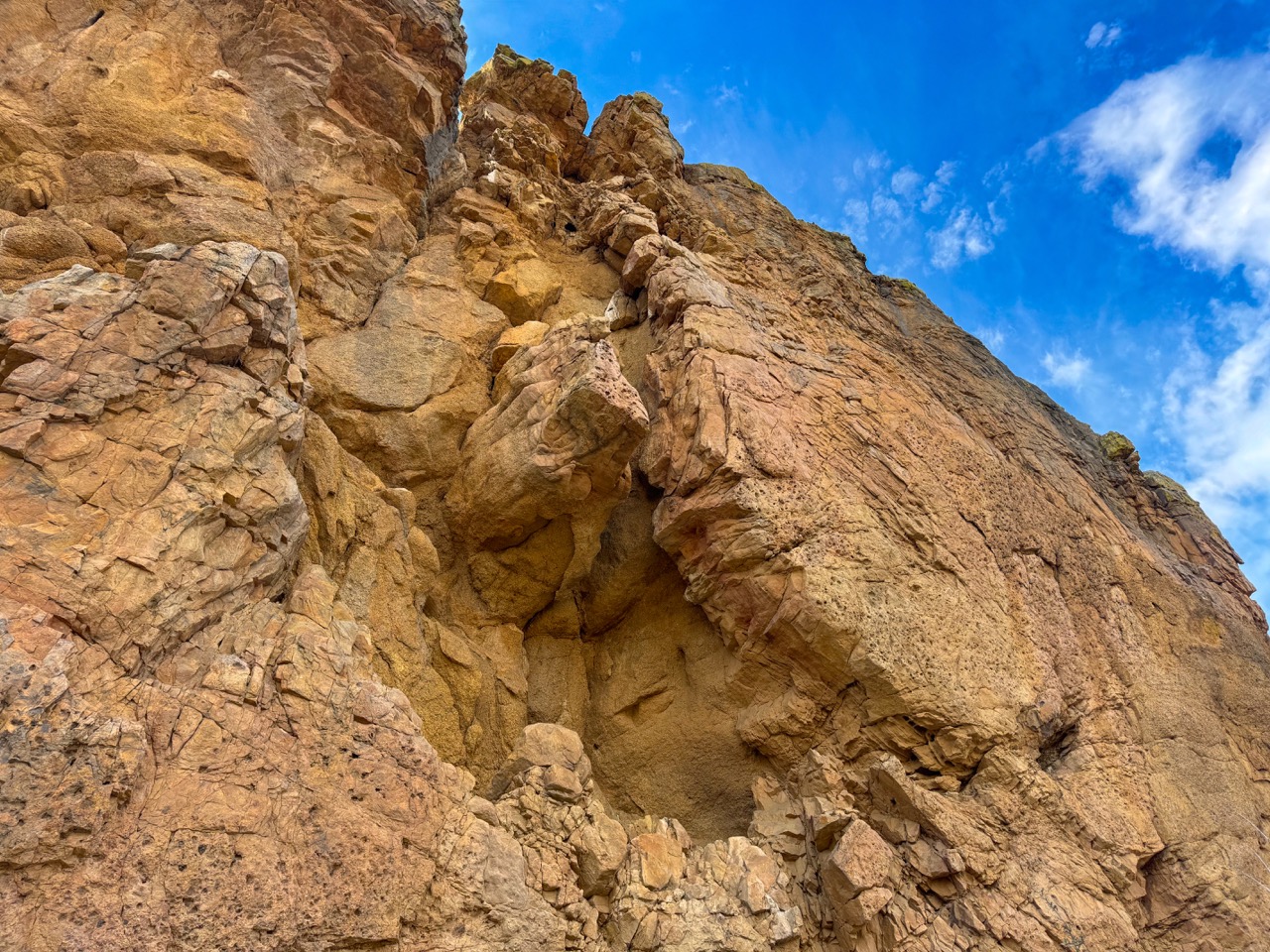
The Devil’s Backbone is a distinctive hogback formation created when flat sedimentary rock layers were bent and eroded, leaving a hard rock spine jutting vertically from the ground. This formation, part of the Dakota Group, originated over 100 million years ago from sand and gravel deposits along an ancient coastline. Around 50 million years later, tectonic activity that formed the Rocky Mountains tilted the hogback steeply. At Devil’s Backbone Open Space, visitors can see several sedimentary rock layers, each representing a different prehistoric era: Triassic Period (251.0 Mya to 199.6 Mya), Jurassic period (199.6 Mya to 145.5 Mya), Cretaceous period (145.5 Mya to 65.5 Mya).
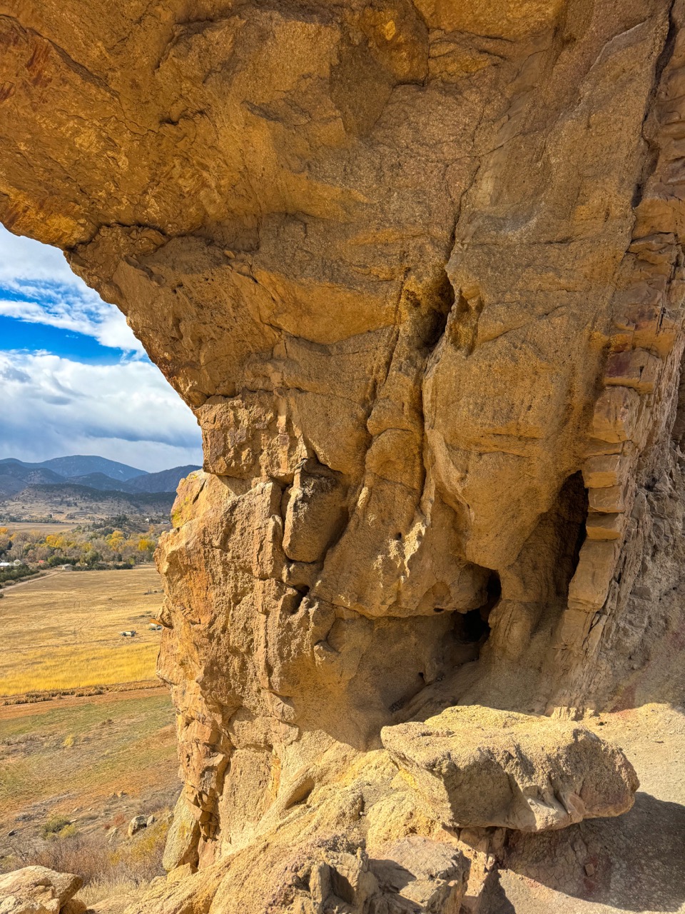
The Keyhole in the Devil’s Backbone is a dramatic arch formation, shaped by wind and ice. Strong western winds press against the rock’s edges, intensifying weathering at this natural opening. Meanwhile, the porous Dakota Sandstone absorbs rainwater, which expands as it freezes, causing the rock to crack and break apart. Together, these forces carved out the Keyhole’s unique shape.
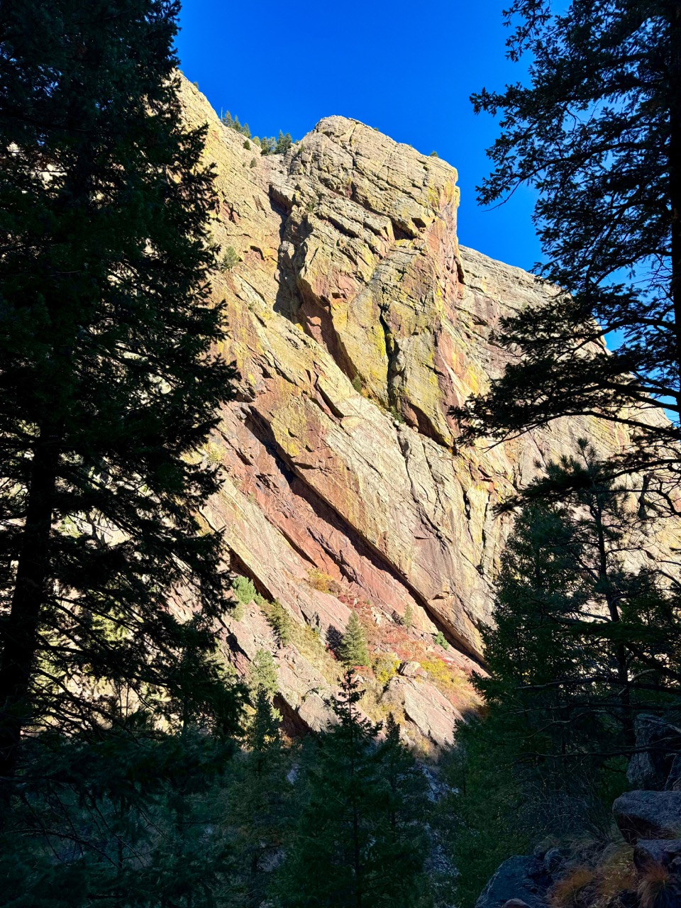
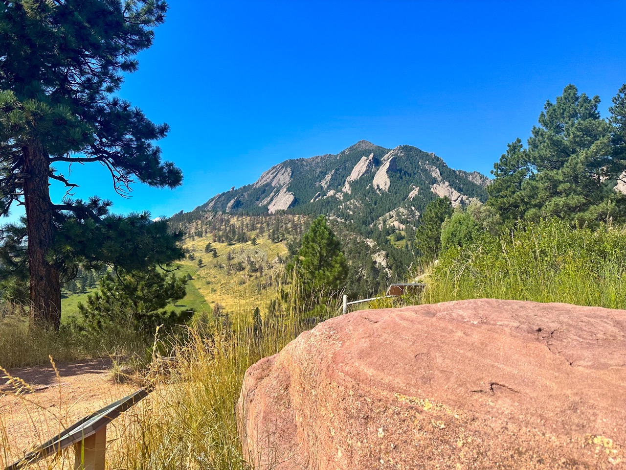
2. Bluebell-Baird to 3rd Flatiron Loop – Chautauqua Park, Boulder
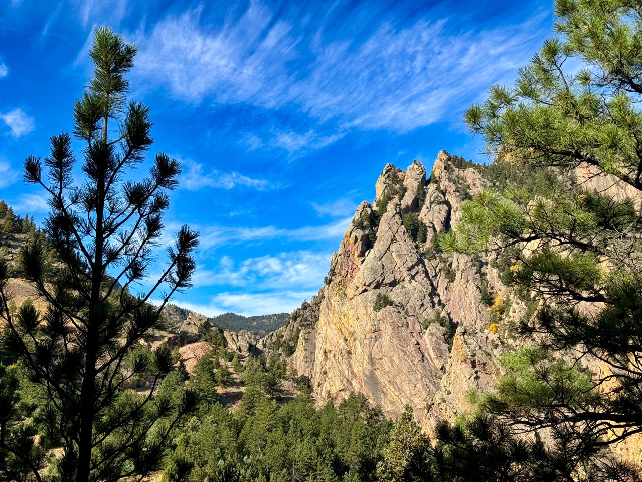
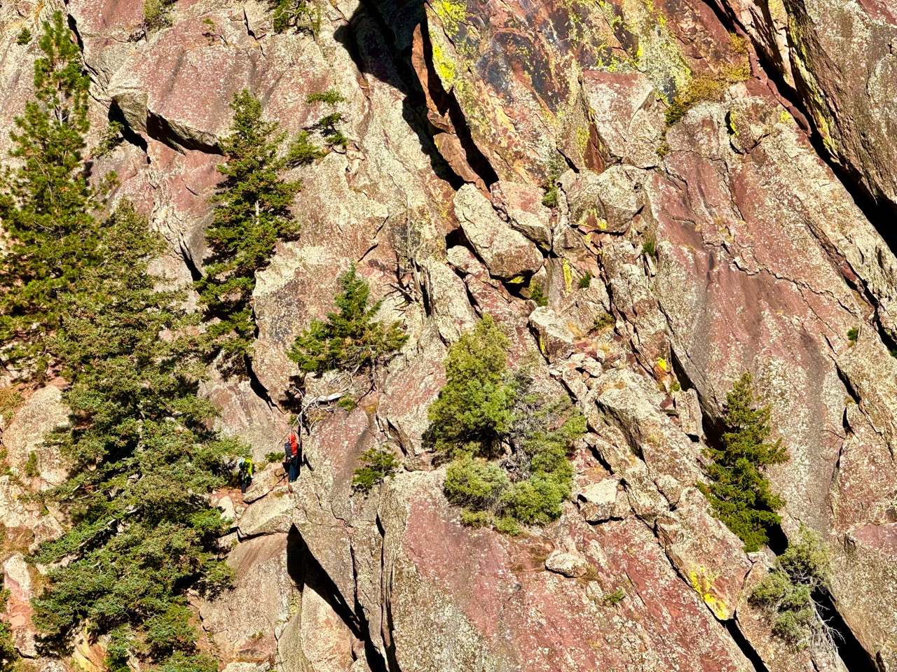
There are SO many trails you can take to see Boulder’s incredible Flatirons within Chautauqua Park. I like this one because it gets you up close and personal with some of the largest ones, and you can often see people up on them climbing.
The Trail Info
- Trailhead: Gregory Canyon Trailhead
- Length: 2.1 mi round trip
- Elevation Gain: 902 ft
- Cost: $5 – Daily parking permit, $25 Annual parking permit (City of Boulder Open Space and Mountain Parks, OSMP)
- Dogs must be on leash, OR have a voice/sight tag from the City of Boulder
- Trail Info on AllTrails
The Nerdy Rock Stuff About The Flatirons
The Flatirons are part of the Fountain Formation, a sedimentary rock unit formed around 280 million years ago during the Pennsylvanian Period, from eroded materials of the Ancestral Rocky Mountains. Initially laid down in horizontal layers, these rocks were later tilted by a significant uplift of the Rocky Mountain region approximately 65 million years ago, resembling a drawbridge being raised. An interesting Colorado sidenote is that Maroon Bells near Aspen represent the western counterpart of this formation.
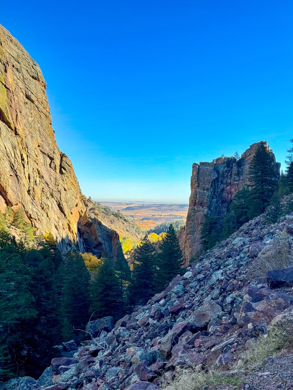
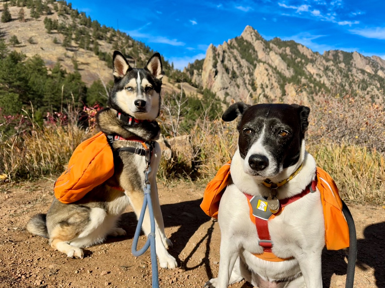
3. Fowler Trail – Eldorado Canyon State Park, Eldorado Springs
There are several trails in this park, but the Fowler Trail is a classic because you get both vistas and closeup views of the incredible rock formations.
The Trail Info
- Trailhead: Rattlesnake Gulch Trailhead
- Length: 4 mi round trip
- Elevation Gain: 410 ft
- Cost: Keep Colorado Wild Pass required to park, $30/year, or $10/day
- Dogs must be on leash
- Trail Info on AllTrails
The Nerdy Rock Stuff About Eldorado Canyon
Eldorado Canyon showcases a 1.7 billion-year geological history within just one mile, starting with ancient igneous granite formed from cooled magma. This granite is overlain by metamorphic quartzite, which originated from eroded sand, transformed into sandstone, and then metamorphosed under heat and pressure. About 300 million years ago, the Ancestral Rocky Mountains eroded, depositing layers of sand that compacted into the sedimentary reddish sandstone of the Fountain Formation, prominent in the canyon’s cliffs. The youngest rock, the Lyons Formation, formed from windblown sand dunes 240 million years ago. The uplift of the modern Rockies 65 million years ago tilted these layers, creating dramatic cliffs shaped by erosion.
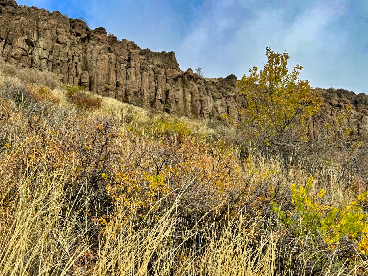
4. Mesa Top, Tilting Mesa, North Table Loop Trails – North Table Mountain, Golden
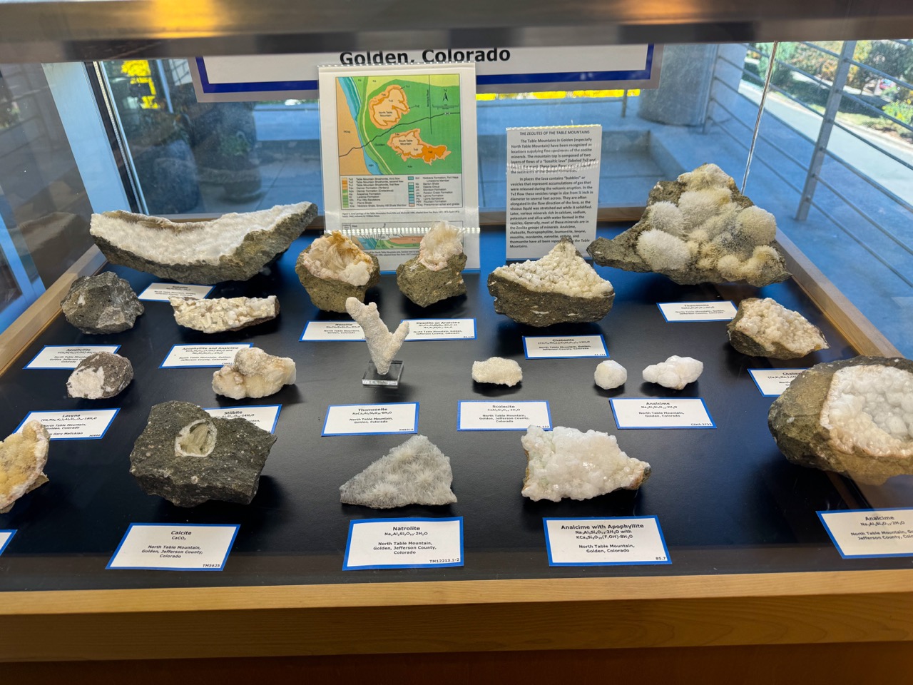
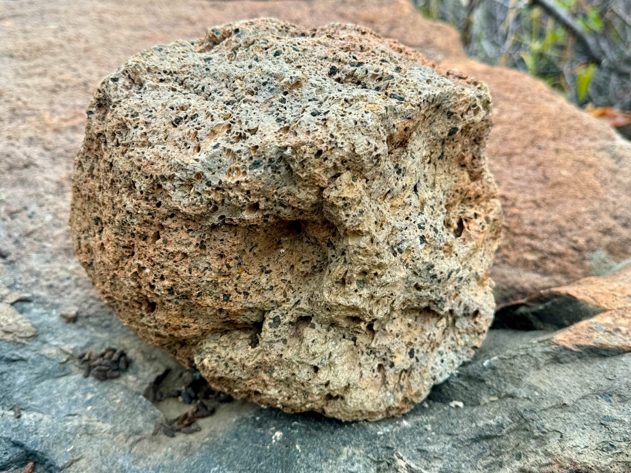
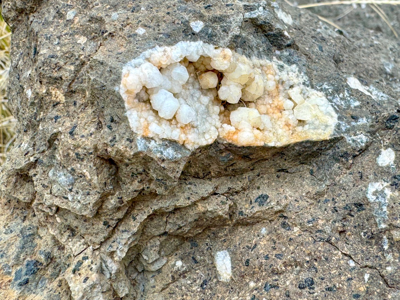
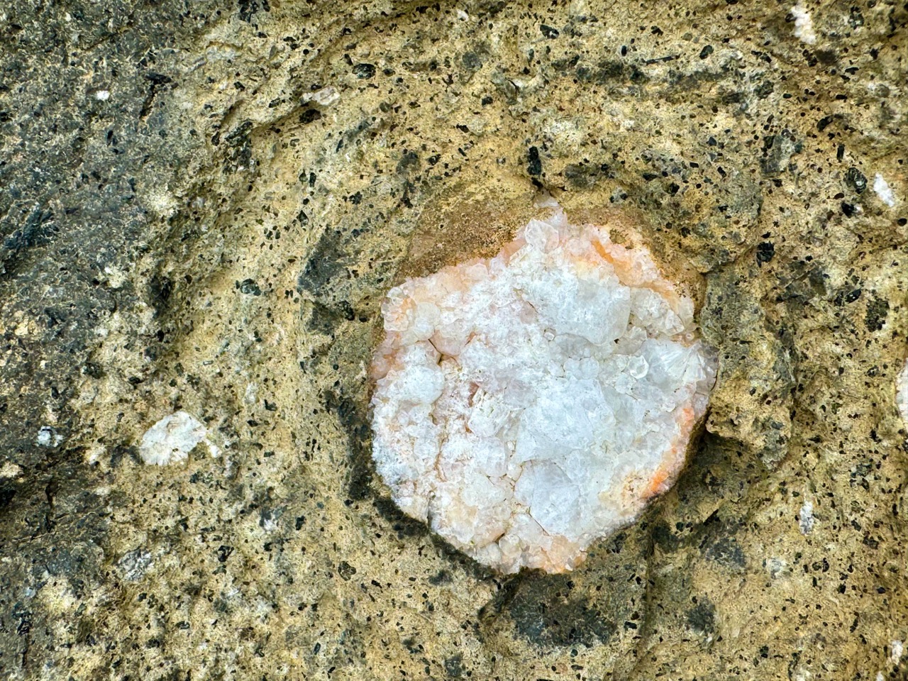
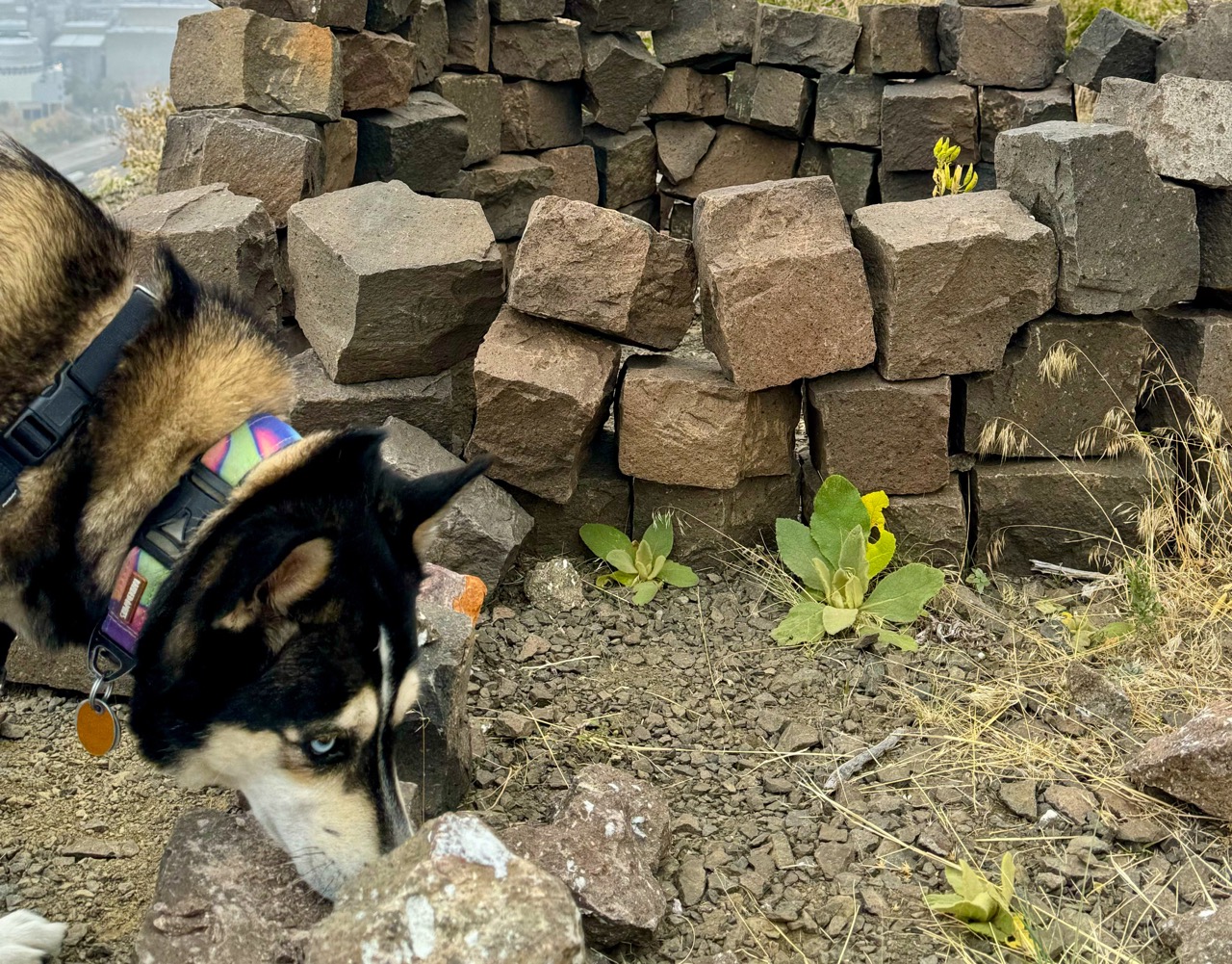
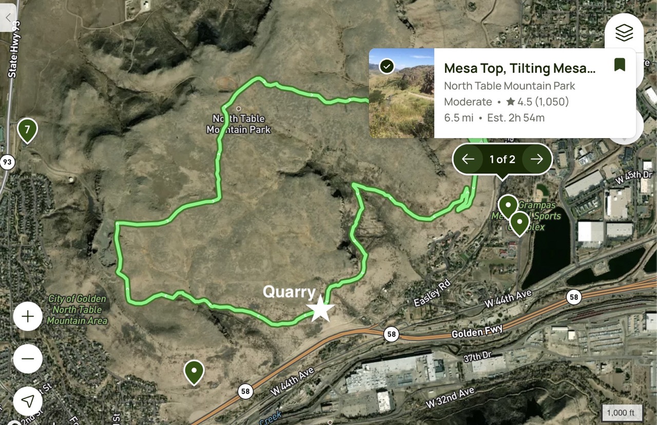
There are many trails along North Table Mountain, but we love this one because it takes you past the foot of a historic quarry. See the photo below for the exact location. If you climb up to the quarry, you can see tons of incredibly beautiful zeolite crystals in the basalt rocks.
The Trail Info
- Trailhead: North Table Mountain Park, East Access Trailhead
- Length: 6.5 mi round trip
- Elevation Gain: 1003 ft
- Cost: FREE
- Dogs must be on leash
- Trail Info on AllTrails
The Nerdy Rock Stuff About North & South Table Mountain
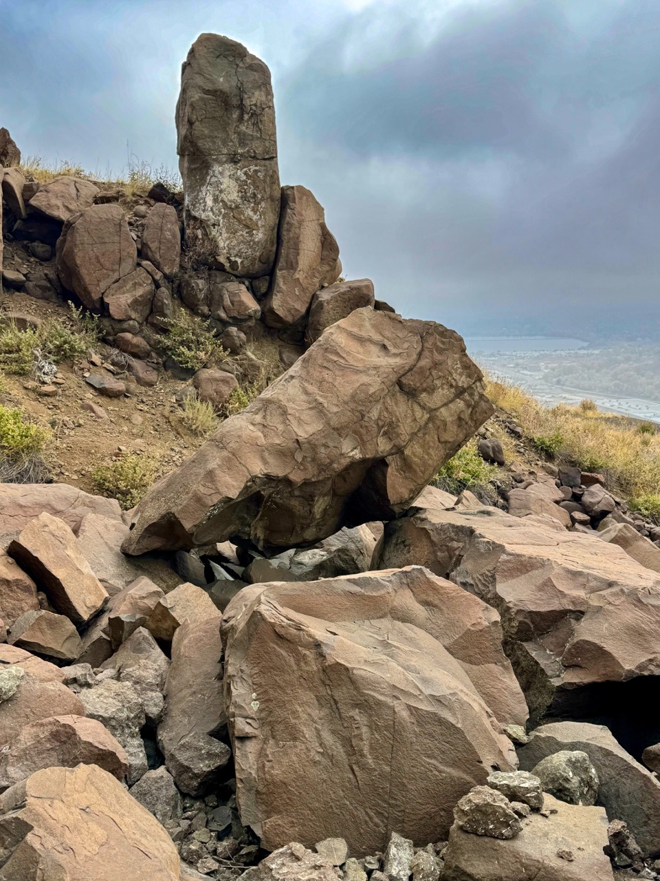
North and South Table Mountains feature steep slopes of soft sedimentary rocks topped by a sheer igneous basalt cliff, formed from volcanic lava that flowed down an ancient river valley about 64 million years ago. The sedimentary layers originated from debris eroded from the Rocky Mountains as they were uplifted. Over time, ongoing erosion buried the lava flow under more sediment until rivers like Clear Creek began to carve through the landscape about 5 million years ago. While they easily eroded the softer sediments, they struggled with the hard basalt, ultimately shaping the twin Table Mountains from what was once the lowest point in the area.
In 1874, Arthur Lakes began collecting minerals and fossils to create a geology museum at the Territorial School of Mines, now known as the Colorado School of Mines. He focused on North Table Mountain, where he and his students opened the first quarry to collect zeolite minerals. By 1901, this quarry was taken over by F.O. Blake for commercial operations, providing basalt for monument stones and paving materials, primarily for the Denver City Tramway Company. In 1905, the Tramway Company implemented an inclined tram to transport stone safely from the 700-foot elevation. The quarry was revitalized in 1917 but fell into disuse by 1923. Although a proposal to reopen it in 1973 was rejected, the site remains popular for mineral collecting today, with access regulated by Jefferson County.
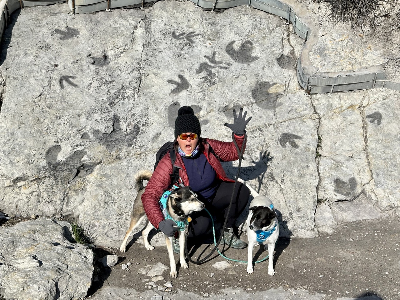
5. Dinosaur Ridge and Dakota Ridge Trail – Matthews/Winters Park, Morrison
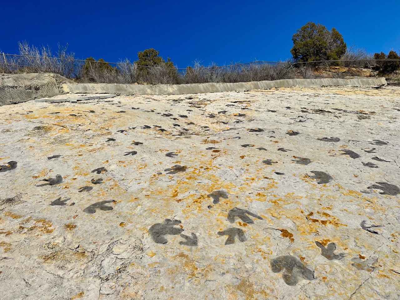
We love this trail because in addition to the dinosaur tracks, there are a ton of signs that teach you about other geological forces at work in this area.
The Trail Info
- Trailhead: South Dinosaur Trailhead
- Length: 4 mi round trip
- Elevation Gain: 816 ft
- Cost: FREE
- Dogs must be on leash
- Trail Info on AllTrails
The Nerdy Rock Stuff About Dinosaur Ridge
Dinosaur Ridge showcases millions of years of geological history, beginning in the Jurassic period (145 to 201 million years ago) when Colorado was a low plain with slow-moving rivers where dinosaurs lived and their bones were fossilized, forming the sedimentary Morrison Formation. During the Cretaceous period (110 to 70 million years ago), the area was submerged under an inland sea, with the Front Range acting as a migration route for dinosaurs, resulting in the sedimentary Dakota Group rocks. Around 65 million years ago, the seabed was uplifted into mountains due to tectonic activity, which began eroding about 40 million years ago, eventually buried by volcanic ash during the Ignimbrite Flare-Up. The Front Range evolved into a continuation of the Great Plains until about 5 million years ago, when intense erosion revealed older, harder rock layers, forming the hogbacks seen today, including Dinosaur Ridge.
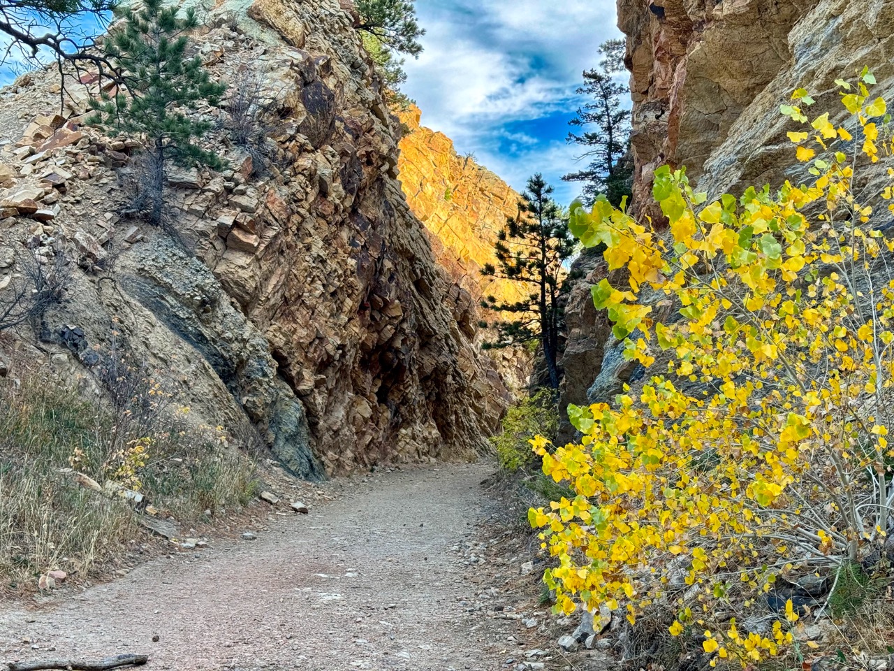
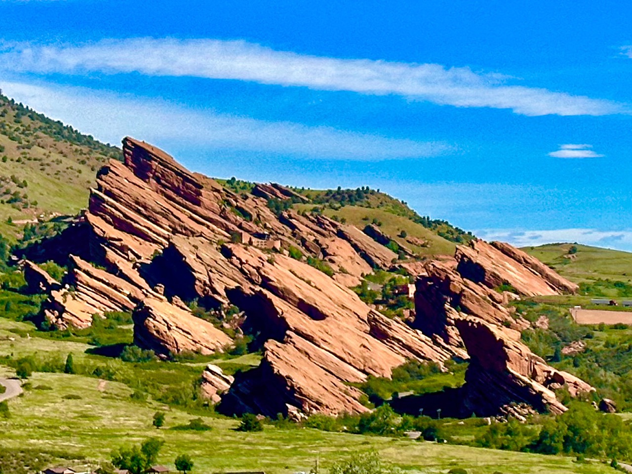
6. Red Rocks & Morrison Slide Loop – Red Rocks Park, Morrison
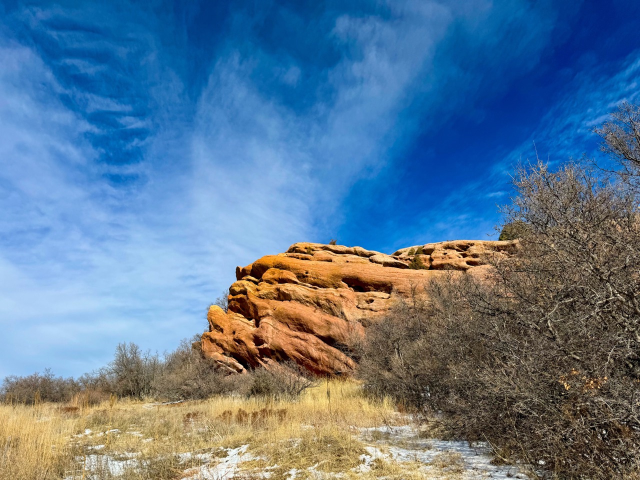
Any hike at Red Rocks Park is spectacular, but we love this one because it takes you right through the heart of some of the most stunning formations.
The Trail Info
- Trailhead: Red Rocks Trail & Morrison Slide Loop Trailhead
- Length: 3.2 mi round trip
- Elevation Gain: 692 ft elevation gain
- Cost: FREE
- Dogs must be on leash
- Trail Info on AllTrails
The Nerdy Rock Stuff About Red Rocks
Red Rocks Park features a rich geological history that begins around 300 million years ago during the Pennsylvanian Period, when Colorado was surrounded by ancient seas that created sedimentary sandstone formations and conglomerates from eroded ancestral Rocky Mountains. The area showcases a notable contact point between 1.7 billion-year-old igneous and metamorphic Pre-Cambrian rock, and the 300-million-year-old Fountain Formation, which consists of sediment washed down from earlier Rockies that have since eroded. The current Rocky Mountains rose about 65 million years ago, reshaping the landscape and turning the Fountain Formation on its side, allowing water and wind to sculpt the striking formations visible today, including the iconic rock gardens of Red Rocks and other nearby areas.
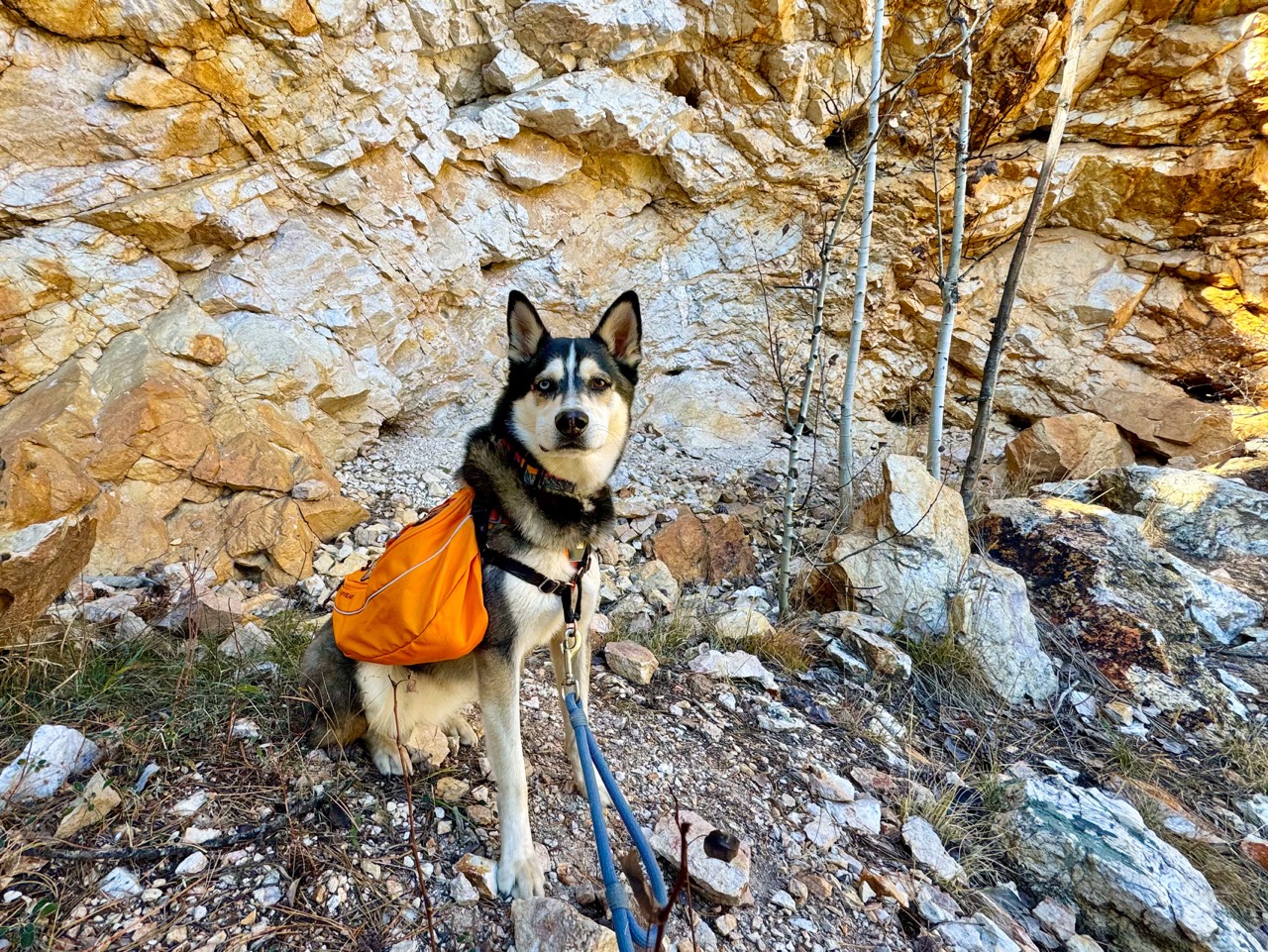
7. Mountain Lion Trail to Quarry – Golden Gate Canyon State Park, Blackhawk
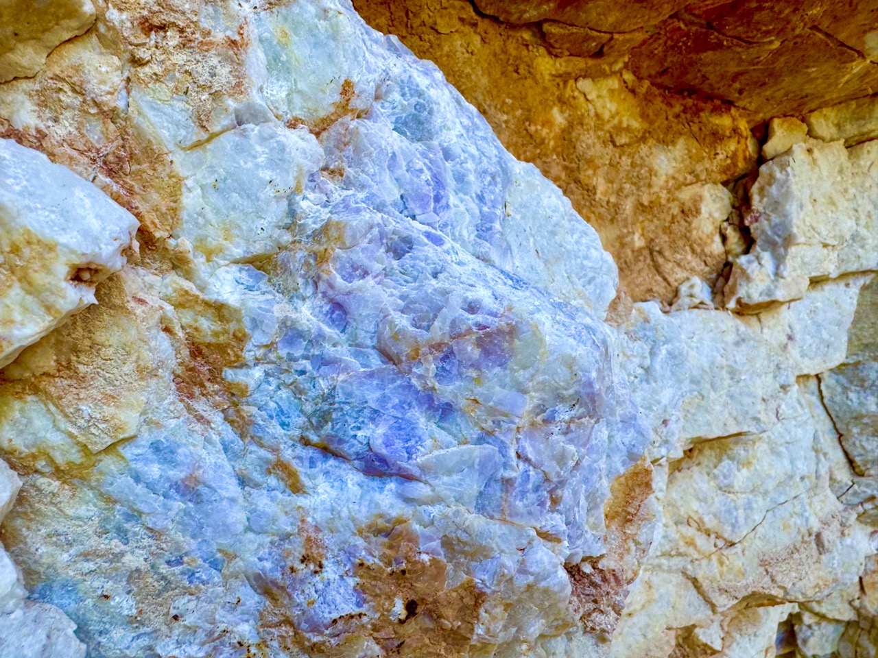
This trail is fairly run of the mill, UNTIL you hit the quarry. Be sure to give yourself plenty of time to look closely at all the interesting features you can see in the rock. We particularly love spotting the purple fluorite crystals embedded in the quartz.
The Trail Info
- Trailhead: Nott Creek Trailhead
- Length: 3.7 mi round trip
- Elevation Gain: 770 ft elevation gain
- Cost: Keep Colorado Wild Pass required to park, $30/year, or $10/day
- Dogs must be on leash
- Trail Info on AllTrails
The Nerdy Rock Stuff About Golden Gate Canyon
Golden Gate Canyon, located 16 miles from Golden, Colorado, stretches across 12,000 acres in the Rocky Mountains’ Front Range. The park, intersected by Ralston, Nott, and Deer creeks, primarily consists of Precambrian rock, including metamorphic gneiss and quartz. Distinct areas like Blue Mountain and Centralia Mountain feature metamorphic quartzite, quartz monzonite, and amphibolite bedrock outcrops. Layers of Holocene and Pleistocene deposits, shaped by wind and water, cover the park, with sedimentary colluvial and alluvial deposits containing materials from silt to large rocks, originating mainly from Piney Creek glaciation.
The abandoned Quarry that this trail leads to contains the following, according to research provided by Golden Gate Canyon State Park
-Quartz-fluorite breccia – hydrothermal rock made of broken fragments of white quartz crystals and pale purple fluorite crystals. Found in the eastern part of the park.”
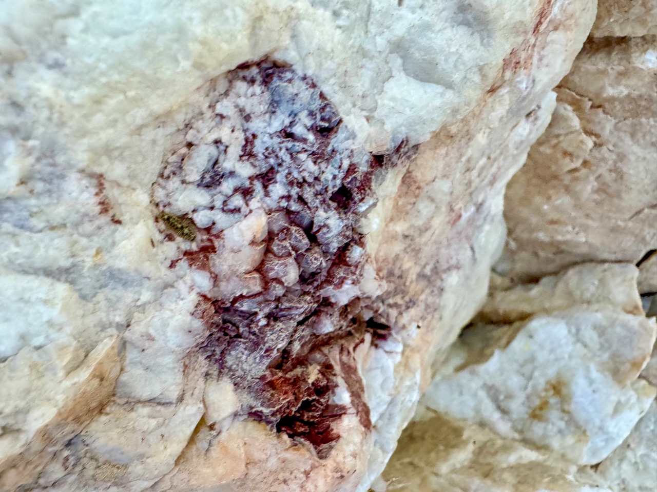
-Feldspar-quartz breccia – hydrothermal rock made of broken fragments of pink potassium feldspar crystals, light gray quartz crystals, and dark gray hematite crystals.
While I have not found any historical references to this particular quarry in terms of where the rock went or how it was used, Breccias have very unique angular textures and are prized as ornamental rocks for buildings, monuments, grave stones, tiles and many other ornamental uses. They have been used by people for centuries for many ornamental uses. Some breccias are even considered to be semi-precious, and are used in jewelry.
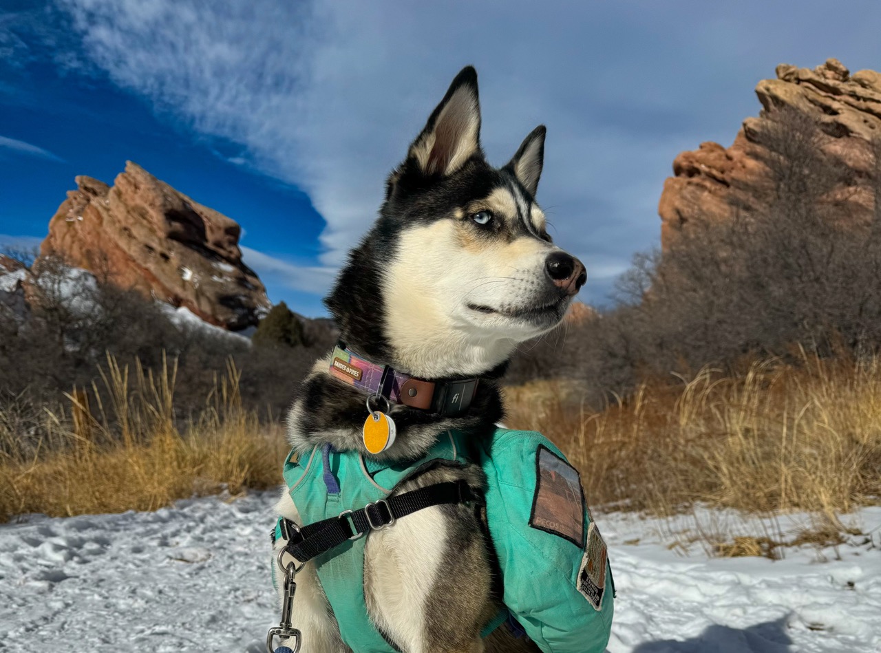
8. Coyote Song Trail and Valley View Trail – South Valley Park, Littleton
This park is such a gem, and the red rock formations look extra stunning right after a fresh snow!
The Trail Info
- Trailhead: South Valley Park South Trailhead
- Length: 4.5 mi round trip
- Elevation Gain: 554 ft
- Cost: FREE
- Dogs must be on leash
- Trail Info on AllTrails
The Nerdy Rock Stuff About South Valley Park
South Valley Park, located near Denver, is set between two ridges: the prominent Dakota Hogback and the Lyons Hogback, which has a trail to its summit. Hogbacks are ridges with steep sides formed by uplifted sedimentary rock layers, and in this park, the softer rock has eroded away, leaving these distinct formations. The Lyons Hogback consists of sedimentary sandstone from about 250 million years ago, while the Dakota Hogback is younger, formed 100–95 million years ago. Additionally, red sandstone outcrops from the even older Fountain formation (290–340 million years) are found throughout the park, with similar formations visible in nearby parks like Red Rocks and Roxborough State Park.
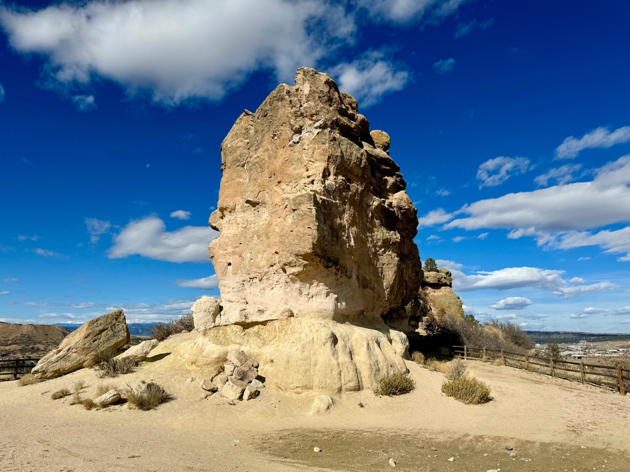
9. Rock Park Loop Trail – Rock Park, Castle Rock
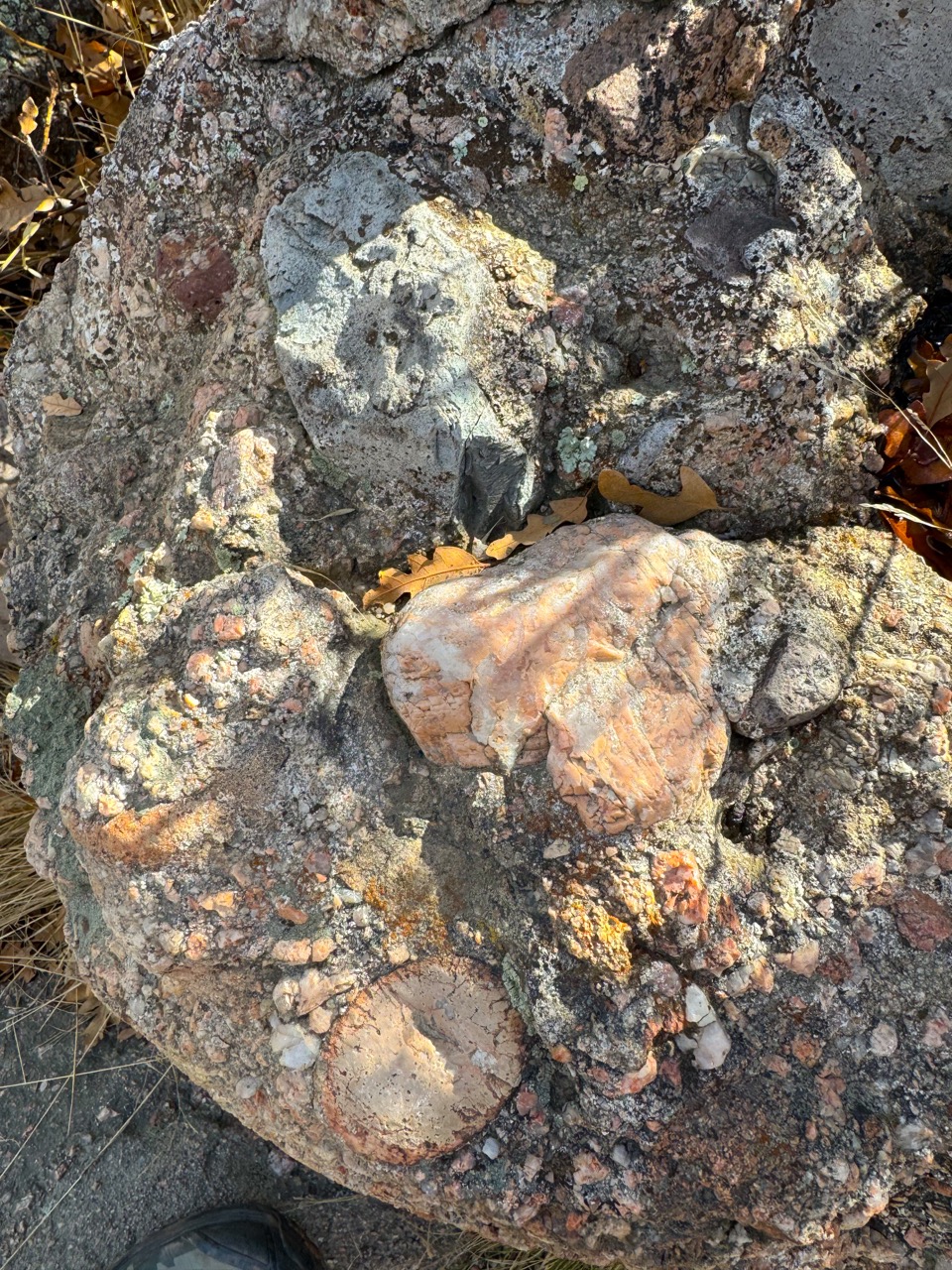
This is a super short hike, but to such an iconic formation. It’s always worth a pilgrimage! And the conglomerate rock is so interesting, be sure to give yourself plenty of time to look closely.
The Trail Info
- Trailhead: Rock Park Trailhead
- Length: 1.4 mi round trip
- Elevation Gain: 347 ft
- Cost: FREE
- Dogs must be on leash
- Trail Info on AllTrails
The Nerdy Rock Stuff About Castle Rock
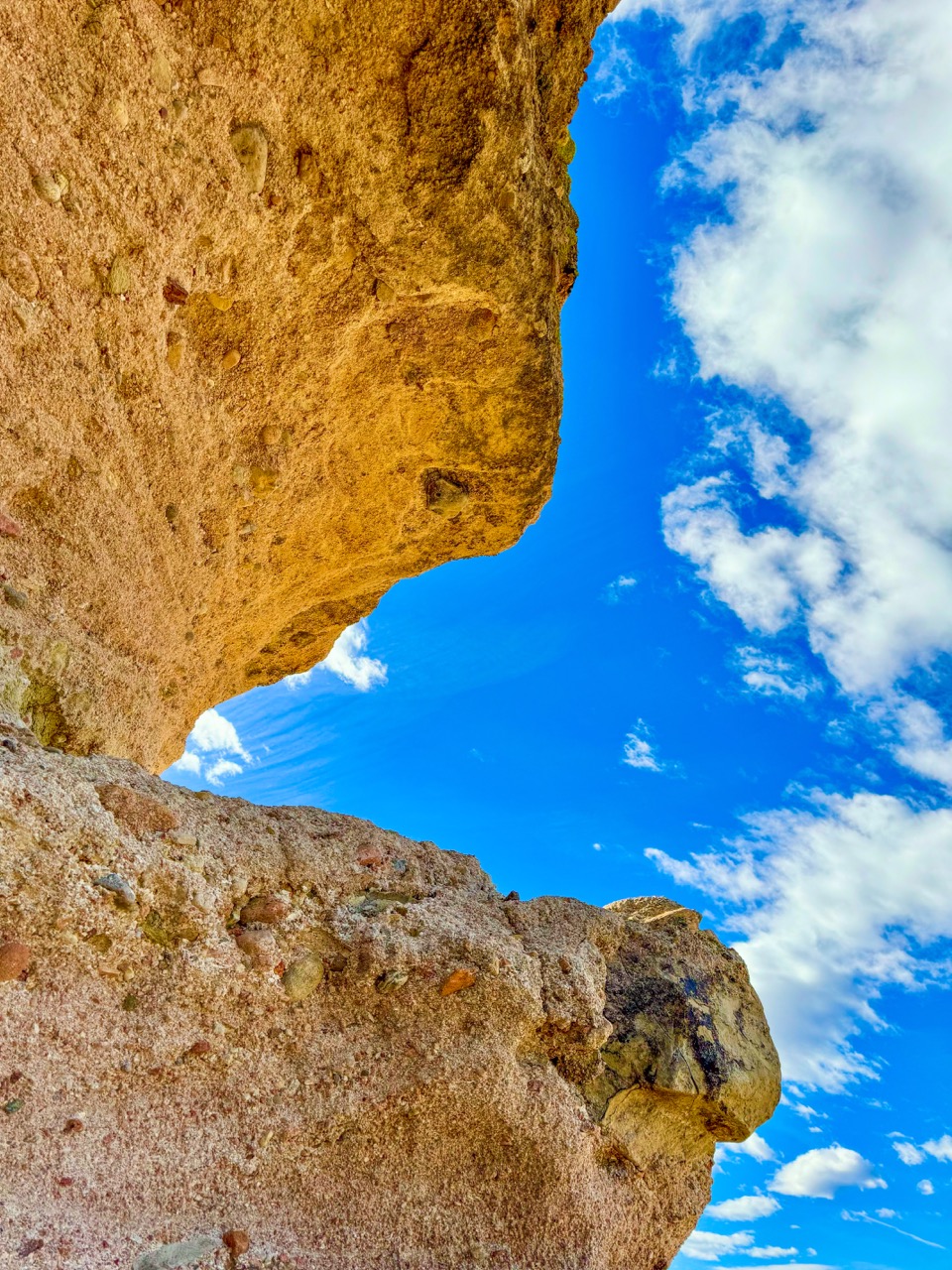
Castle Rock, a prominent formation in the town of the same name in Colorado, has puzzled geologists with its remarkable resilience to erosion. Recently, researchers from the Denver Museum of Nature and Science uncovered the secret behind its durability: microscopic traces of opal embedded within the rock’s matrix. This opal, along with chalcedony, binds the rock fragments tightly, making the Castle Rock sedimentary conglomerate as hard as concrete. The formation of these minerals dates back around 36 million years, when volcanic activity deposited silica-rich ash across the region. Over time, rainwater dissolved this silica, which then seeped into porous conglomerate rocks, precipitating as opal and cementing the structure. These unique conditions—volcanic silica deposits, porous rocks, and a once-rainy, tropical climate—helped create the resilient Castle Rock we see today.
10. Rim Rock Trail to Creek Trail Loop – Castlewood Canyon, Franktown
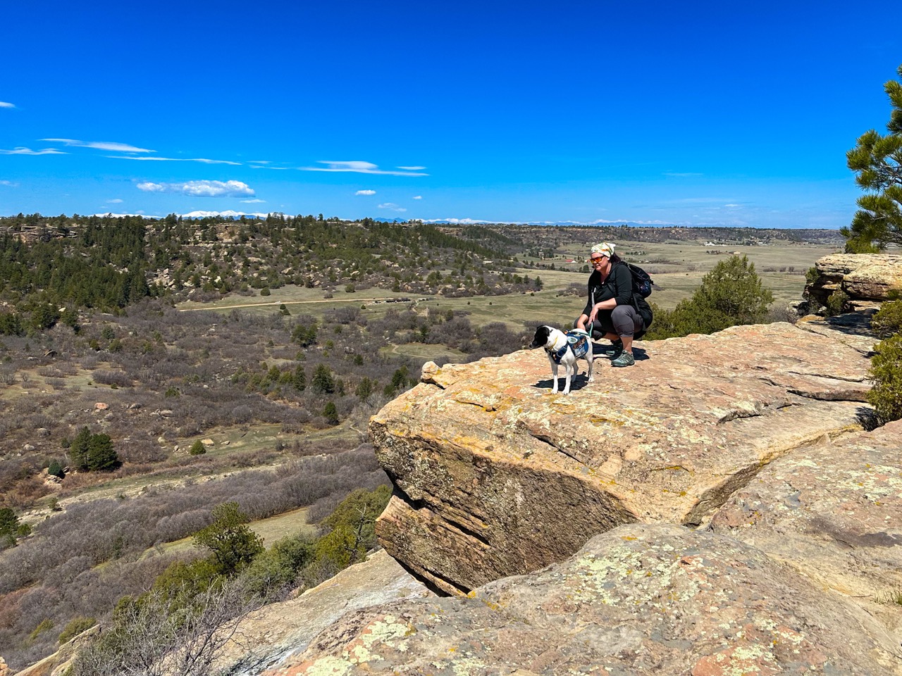
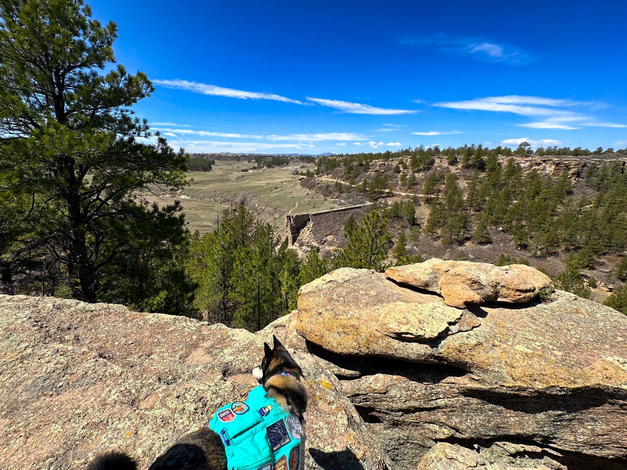
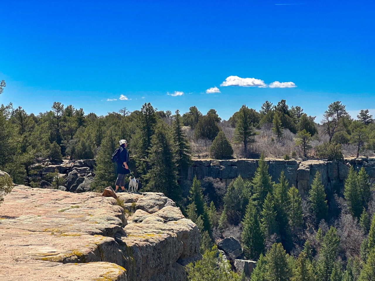
There are many lovely trails in this park, but we particularly love this one, because it has some of everything. You can hike right along the canyon rim, see epic views of Pike’s Peak on a clear day, and check out the historic sites like the old homestead and the burst dam.
The Trail Info
- Trailhead: Homestead Trailhead
- Length: 4.3 mi round trip
- Elevation Gain: 600 ft
- Cost: Keep Colorado Wild Pass required to park, $30/year, or $10/day
- Dogs must be on leash
- Trail Info on AllTrails
The Nerdy Rock Stuff About Castlewood Canyon
Castlewood Canyon offers striking views of the upper Dawson Formation (made up of sedimentary sandstone, and mudstone) and Castle Rock Conglomerate, which reveal the geological history of Colorado’s Front Range. The erosion-resistant Castle Rock Conglomerate, a coarse sedimentary cobble bound by volcanic ash, forms the canyon’s tall cliffs. Cherry Creek carved through this tough layer, while the softer Dawson Formation on the upper slopes eroded more easily, resulting in the canyon’s broader, gentler lower slopes. The Dawson Formation, made of loose alluvium, was deposited by water flowing from the mountains to the plains.
Geologic Wonder Day Hike Packing List
- AllTrails Pro account
- Keep Colorado Wild Annual Pass for the state parks
- Magnifying lens for looking closely at the rocks
- Doggo backpack for packing out poop on hikes
- Pupper water bottles
- Human water bottles and plenty of water!
- Poop bags
- Sturdy human hiking shoes with ample ankle protection for climbing around on rocky surfaces – These are my personal favorites
- Rain jacket and/or insulated jacket for high elevation
References
- Breccias
- Colorado by Nature: North and South Table Mountains
- Colorado Science: Researchers discover secret to Castle Rock’s longevity
- Dinosaur Ridge – Geology
- Eldorado Canyon State Park – Nature’s Forces
- Geology on OSMP
- Glossary of Geologic Terms
- Golden Gate Canyon State Park
- Historic Quarrying in the Jeffco Foothills
- How the Boulder Flatirons Were Formed
- Larimer County – Devil’s Backbone Open Space
- Layered Geology in a Transitional Ecosystem in South Valley Park
- Legacy Trail at Gateway Mesa
- Overview of the Eocene Castle Rock Conglomerate, east-central Colorado: Remapping the fluvial system, and implications for the history of the Colorado Piedmont and Front Range
- Red Rocks Park & Amphitheatre – Geology
- Zeolites, Tombstones, and Paving Stones on North Table Mountain
